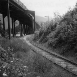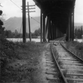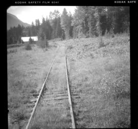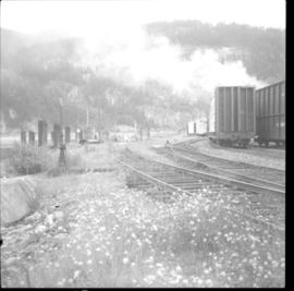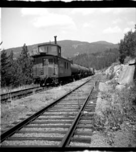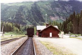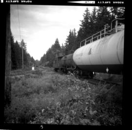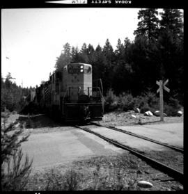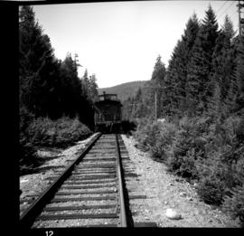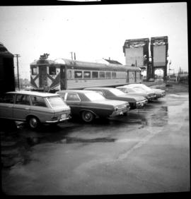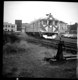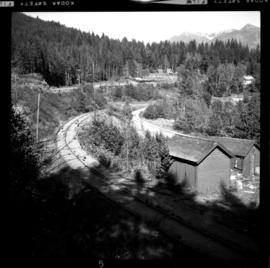
2013.6.36.1.031.01
·
Item
·
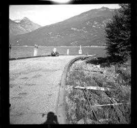
12 Sept. 1970
Part of David Davies Railway Collection
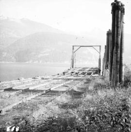
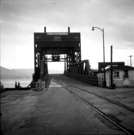
Photograph depicts the switchback to gain access to the wharf at Kaslo, looking down graded. Upper part of the track in recent years led to an oil depot, but does not appear to have been used in last 6-12 months (1970).