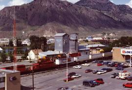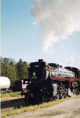
2013.6.36.1.138.08
·
Item
·
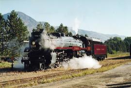
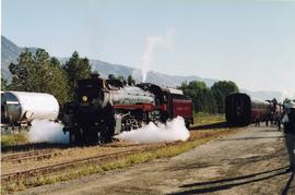
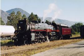
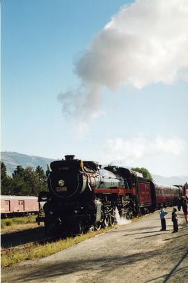
27 Sept. 2003
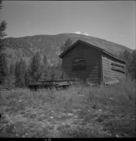
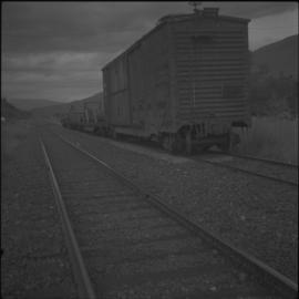
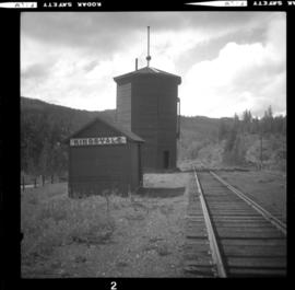
Part of David Davies Railway Collection
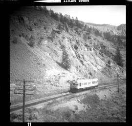
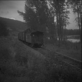
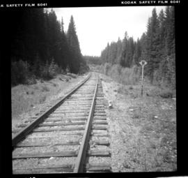
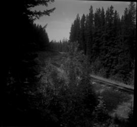
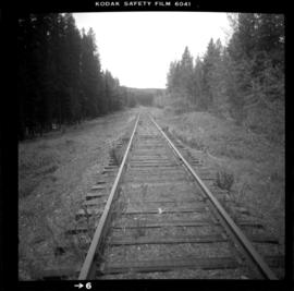
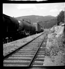
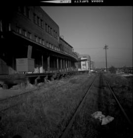
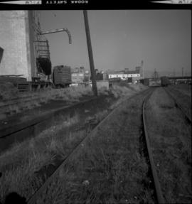
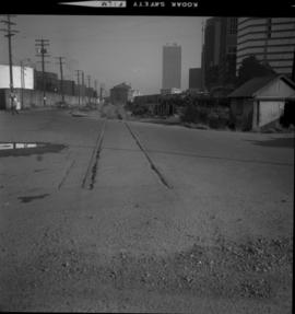
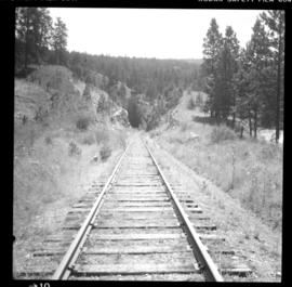
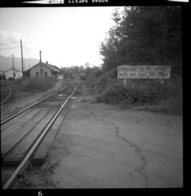
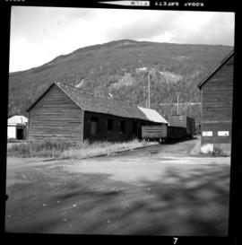
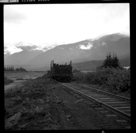
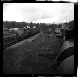
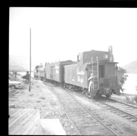
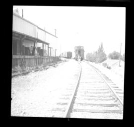
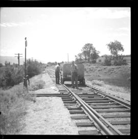
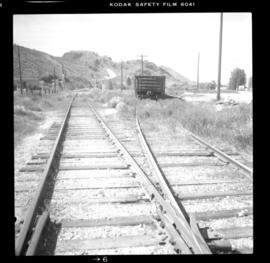
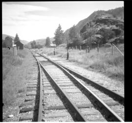
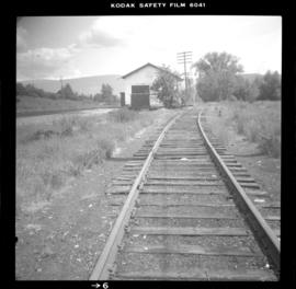
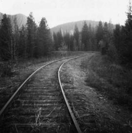
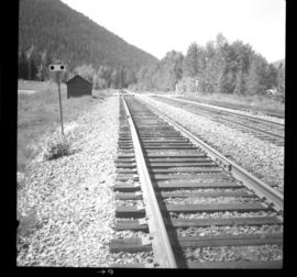
Photograph depicts Canadian Pacific Railway locomotive # 2816 in Kamloops.