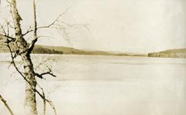
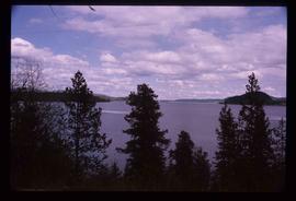
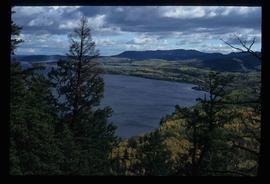
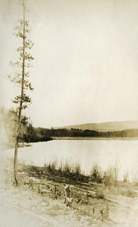
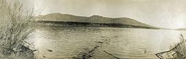
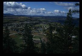
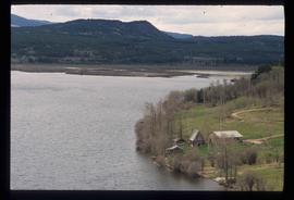
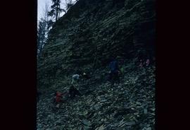
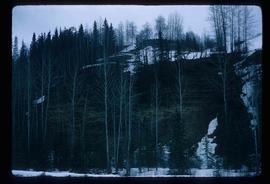
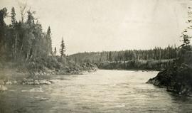
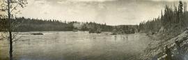
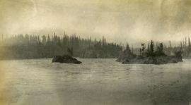
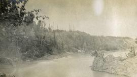
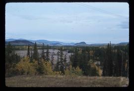
Print preview Close

Showing 3619 results

Archival description
François Lake from ferry
2020.05.49 · Item · 1936
Part of Gordon Wyness Album

Photograph depicts a view of François Lake taken from the ferry going to Northbank Point on right-hand side. The survey crew camped there in June 1936.

Fossil Beds
2012.13.1.51.020 · Item · May 1972
Part of J. Kent Sedgwick fonds

Image depicts numerous unknown individuals searching through a fossil bed, possibly in the Bulkley Valley.

2012.13.1.93.29 · Item · 1978
Part of J. Kent Sedgwick fonds

Image depicts numerous pieces of what appears to be old farming equipment. There is also an unidentified individual sitting aginst the side of a building. The location is possibly Fort St. John, B.C.

2009.5.3.28 · Item · [ca. 1912]
Part of Taylor-Baxter Family Photograph Collection

Photograph depicts the early settlement of Fort George. The buildings to the left of the fence are believed to be owned by the Hudson's Bay Company. The land to the right of the fence belonged to the Fort George Reserve, the home of today's Lheidli T'enneh Band who relocated to a reserve at Shelley when this reserve was sold in 1912. Handwritten annotation on verso and recto of this photograph reads: "Fort George from opposite side of Fraser River".

Fort George
2008.2.1.24 · Item · 3 January 1944
Part of Northern BC Cartographic Collection

Colour-coded map depicting surveyed lands alienated, available for purchase or lease under Land Act, and available for pre-emption. Depicts land districts, land recording districts, provincial forests, parks, game reserves, communities, bodies of water, transport routes, communication lines, and triangulation stations.

Fort George
2008.2.1.27 · Item · 1 May 1949
Part of Northern BC Cartographic Collection

Colour-coded map depicts surveyed lands alienated, available for purchase or lease under Land Act, or available for pre-emption. Depicts land districts, land recording districts, provincial forests, parks, game reserves, communities, bodies of water, transport routes, communication lines, triangulation stations, and government reserves.

2000.1.1.2.03.04 · Item · 4 July 1964
Part of Cassiar Asbestos Corporation Ltd. fonds

Handwritten annotation on recto of photograph: "FORMING FOOTING RETAINING WALL JULY 4/64." Photograph depicts construction workers
standing in forms for cement laid against mountain wall on high elevation of construction site. A retaining structure made with wood planks and rebar separates mountainside dirt from cement forms. A front end loader can be seen in midground, near unidentified building. Mountain range in background.

2009.5.3.157 · Item · [ca. 1910]
Part of Taylor-Baxter Family Photograph Collection

Photograph depicts men on river boat and small canoe floating just off shore. Men sit and stand on shore among square bales and large cut lumber. Forest in background. Handwritten annotations on recto of photograph: "Fort Fraser wooding up at Giscome Portage", "Chilco at Giscome Portage".