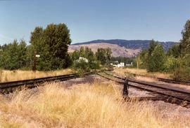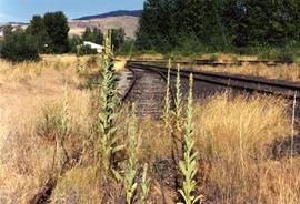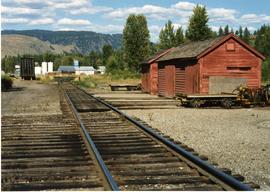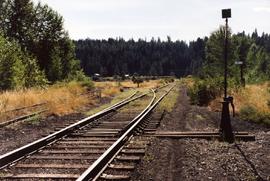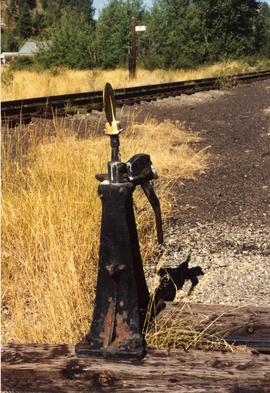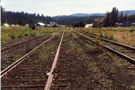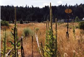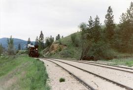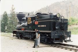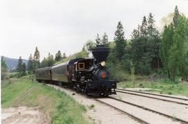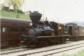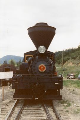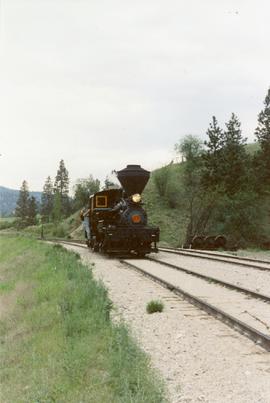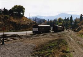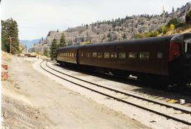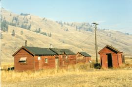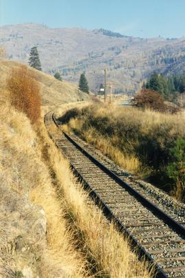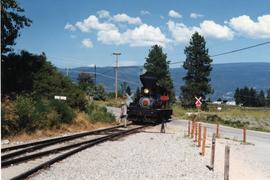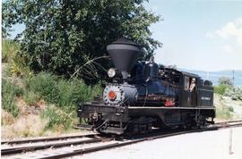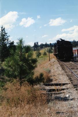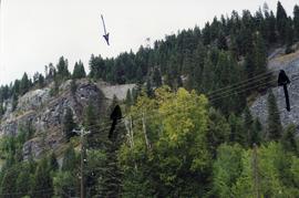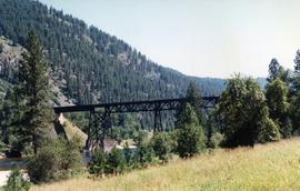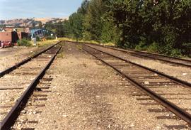
2013.6.36.1.125.03
·
Item
·
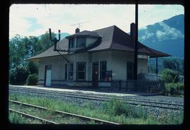
Aug. 1990
Part of David Davies Railway Collection
Photograph depicts abandoned KVR track. The depot was located just behind the camera.