Print preview Close
Showing 2849 results
Archival description
Muskwa-Kechika soils and prescribed burning project data
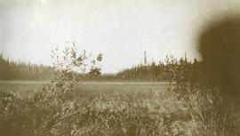
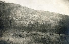
Muskeg meadow
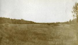
Muskeg meadow
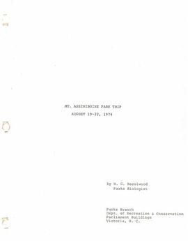
"Mt. Assiniboine Park Trip, August 19-22, 1974"

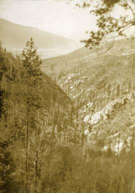
Mouth of Black Creek
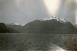
Mountains and ocean, possibly Howe Sound
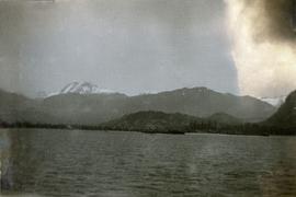
Mountains and ocean, possibly Howe Sound
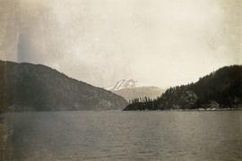
Mountains and ocean, possibly Howe Sound
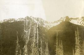
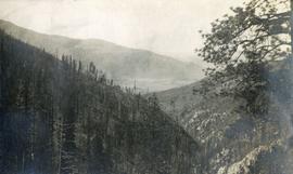
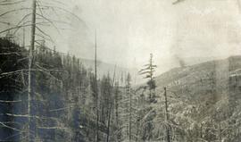
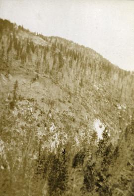
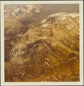
Mountain range south of John Brown Creek
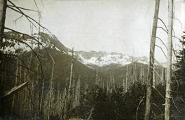
Mountain range south of John Brown Creek
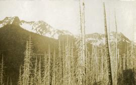
Mountain range south of John Brown Creek
Mountain on American Boundary lines
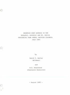
"Mountain Goat Surveys in the Tatlatui, Spatsizi and Mt. Edziza Provincial Park Areas, British Columbia"
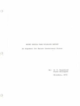
"Mount Edziza Park Wildlife Report: An Argument for Nature Conservancy Status"
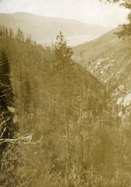
Morrissey Creek Valley
Morrissey Creek Valley
Morrissey Creek near Grand Forks, BC
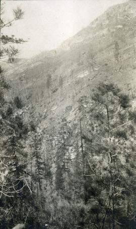
Morrissey Creek near Grand Forks, BC
Morrissey Creek near Grand Forks, BC
Morrissey Creek near Grand Forks, BC
Morrissey Creek near Grand Forks, BC
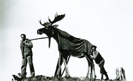
Moose figure stationed at Prince George outskirts to welcome visitors

Monkman P.S.Y.U., T.F.L. 30, and area

Monkman P.S.Y.U. forest cover map

MK Soils Project - 2001 - General Vegetation Descriptions

Ministry of Forests internal memorandum "Re: Evaluation of BaCl₂ method for soil cations"
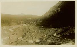
Mining site
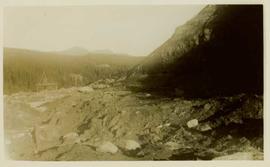
Mining site

Mining in Unknown Area
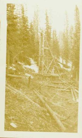
Mining excavation equipment
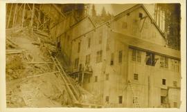
Mining building in Northern B.C.

Mining at Otter Creek, BC
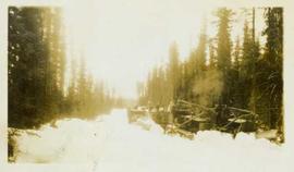
Mining access road in winter
"Mineralogy of clay and sand fractions of soils developed from till, glaciofluvial and glaciolacustrine deposits in central interior British Columbia"
Mine, South East View from Airplane

Mine Garage & West Peak

Mine & Ore Gravity Chute

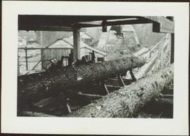
Mill Site at Giscome, BC
Mill operation
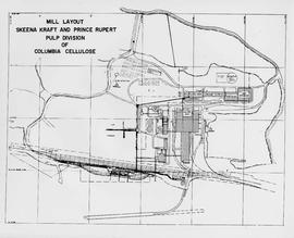
Mill Layout: Skeena Kraft and Prince Rupert Pulp Division of Columbia Cellulose

Mill Burner at Giscome, BC
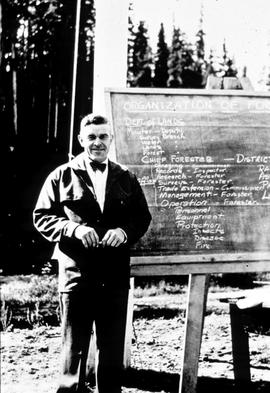
Mike Gregg instructing the Young Men's Forestry Training Program (YMFTP) crew

Middle Pleistocene basalt cliffs, facing downstream between Camp 1 and Camp 2

Middle Pleistocene basalt cliffs, facing downstream between Camp 1 and Camp 2

Middle Pleistocene basalt cliffs west of Camp 2

Middle Pleistocene basalt cliffs west of Camp 2
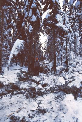
Michael Jull on skid road by advanced regeneration at Summit Lake

Michael Jull in area of moderate volume removal, Summit Lake

Michael Jull in area of moderate volume removal, Summit Lake

Michael Jull identifying blowdown due to tomentosus butt rot, Summit Lake