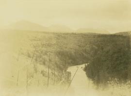
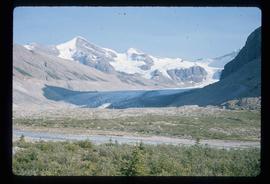
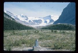
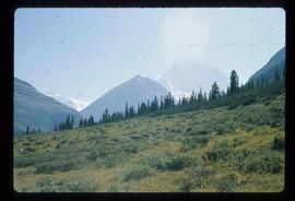
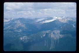
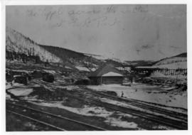
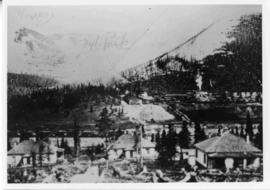
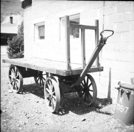
Photograph depicts a hand truck that was found outside a museum in Ashcroft.
Image depicts a woman standing next to a model of a ship in glass case in what appears to be a museum. The location is uncertain.
Left to right: Interior University Society President Murray Sadler, Prince George Mayor John Backhouse, Chancellor Iona Campagnolo, and President Geoffrey R. Weller.
Handwritten annotation on verso reads: “Construction of UNBC”.
Photograph depicts Murray River running through a forested landscape. In the foreground burnt trees are visible while a mountain range is visible in the background.
Image depicts a man sliding down the remaining snow on Murray Ridge.
Image depicts an unknown individual and some snow located somewhere along the Murray Ridge.
Image depicts the back of a man looking out over Murray Ridge.
Image depicts a view of Murray Ridge.
Photograph depicts a a mule deer hunting kill in Lillooet, BC.
Muinok Lake is also known as Belcourt Lake.
Muinok Lake became the site of Gray's permanent camp during this trek. Muinok Lake is also known as Belcourt Lake.
Muinok Lake is also known as Belcourt Lake.
Bulldozer on highway behind a large pile of rocks and mud.
Image depicts a muddy back road and an old shack at an uncertain location.
Image depicts a rail road bridge over the Mud River.
Image depicts the Mud River.
Image depicts what appears to be a mud house with grass and weeds growing on the roof at an uncertain location. An unknown woman is sitting on a bench outside of it.
Image depicts Mud River, also known as the Chilako River, at Blackwater Road, Prince George, B.C.
Image depicts a river somewhere in Mt. Robson Provincial Park, with a bridge running over it. The slide itself is labelled "Robson station."
Image depicts an unknown individual crouching by a lake somewhere near Mt. Robson.
Image depicts a group of hikers somewhere in the Mt. Robson Provincial Park.
Image depicts a pair of hikers and a view of Mt. Robson Provincial Park.
Image depicts a view of Mt. Robson Provincial Park, with a group of hikers hiking up a mountain side in the foreground.
Image depicts a group of hikers somewhere in Mt. Robson Provincial Park.
Image depicts a glacier somewhere in Mt. Robson Provincial Park.
Image depicts a range of mountains in the Mt. Robson Provincial Park.
Image depicts a view of Mt. Robson Provincial Park.
Image depicts the peak of Mt. Robson.
Image depicts a view of the Berg Lake and Glacier on the slope of Mt. Robson.
Image depicts Mt. Robson.
Photograph depicts a winter landscape with Mt. Park and the Tipple visible.
Photograph depicts a winter landscape with Mt. Park visible.