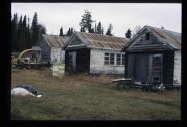
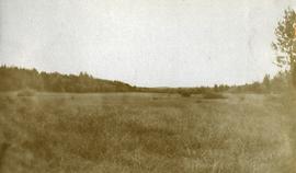
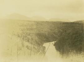
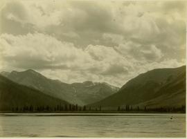
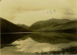
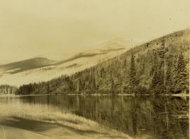
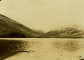
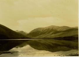
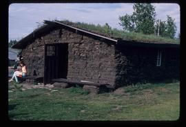
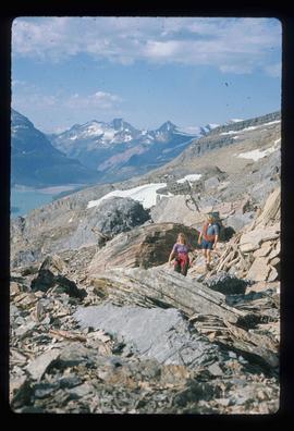
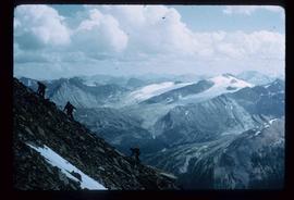
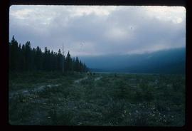
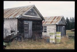
Image depicts the old Myatovic schools.
Photograph depicts a ship named "M.V. Uchuck III" approaching the Gold River wharf on the west coast of Vancouver Island.
Photograph depicts "Uchuck III" at its base in Gold River. It was operated by Nootka Sound Service, Ltd. It ran commercially to Zeballos and Tahsis. It also brought summer tourists to Friendly Cove, a historical site, as it held capacity for 100 passengers.
Photograph depicts the "Queen of Victoria" 24 hours after it had collided with a freighter. Visible is damage that was caused by the freight's bow. Taken looking outwards from the main car dock.
Photograph depicts the "Queen of Victoria" that had been damaged after it had collided with Russian freights in an Active Pass. Damage displayed imprints of the freight's bow. 3 were declared dead. Photograph taken from a floating steam crane at the Burrard Dock that was used to remove mangled automobile through the gaping whole, as shown.
Photograph depicts the "Queen of Victoria" of B.C. Ferries at the Burrard Dry Dock after it had been spit in half and had an extra section insterted. The section unpainted contrasts with the white portions of the original slip.
Photograph depicts the "Queen of Victoria" at Burrard Dock, 24 hours after it had collided with a freighter. Imprints of the latter's bows were clearly seen on the main deck of the ferry.
Photograph depicts the "Queen of Prince Rupert" of B.C. Ferries in the Burrard Dry Dock during its annual 1970 refitting that was to last 5 days. Its props and rudder were removed at the time the photograph was taken.
Photograph depicts the M.V. Ferry, "Needles," that was believed to be built in North Vancouver in 1968.
Photograph depicts M.V. "Atrevida" at Westview Harbour, Powell River. It connects Westview with Blubber Bay on Texada Island. It is one of the very few ferries not run by the B.C. Ferry Authority. It carries about 6 to 8 cars.
Photograph depicts a lifeboat on a ship. Handwritten annotation below photograph reads, "McLaughlin, Davits Aorangi".
Photograph depicts the MV Aorangi docked at Vancouver pier. Handwritten annotation below photograph reads, "Vancouver to Australia".
Photograph depicts the MV Aorangi. This passenger vessel was built by Fairfield Shipbuilding and Engineering Company for the Union Steamship Company of New Zealand and launched in 1924 for the Vancouver-Australia passenger route. Handwritten annotation below photograph reads, "motor driven ship Aorangi".
Photograph depicts the Mussenden Building used by the Hudson's Bay Company. It is located on Water St. in Vancouver, B.C. View is from the north side looking east.
File contains the following data sets:
- Phytolith contents.xls [phytolith content in 5-20 µm silt, tallied by morphological categories; also summarized as % of total soil fine (< 2 mm) fraction]
- M-K (2001) soil LOI data.pdf [LOI (loss-on-ignition) data for sampled soil horizons – proxy measurement for organic matter content]
Photograph depicts a Muskeg pack horse lying down, stuck in a bog.
Photograph depicts looking across a muskeg meadow.
Photograph depicts a hand truck that was found outside a museum in Ashcroft.
Image depicts a woman standing next to a model of a ship in glass case in what appears to be a museum. The location is uncertain.
Left to right: Interior University Society President Murray Sadler, Prince George Mayor John Backhouse, Chancellor Iona Campagnolo, and President Geoffrey R. Weller.
Handwritten annotation on verso reads: “Construction of UNBC”.
Photograph depicts Murray River running through a forested landscape. In the foreground burnt trees are visible while a mountain range is visible in the background.
Image depicts a man sliding down the remaining snow on Murray Ridge.
Image depicts an unknown individual and some snow located somewhere along the Murray Ridge.
Image depicts the back of a man looking out over Murray Ridge.
Image depicts a view of Murray Ridge.
Photograph depicts a a mule deer hunting kill in Lillooet, BC.
Muinok Lake is also known as Belcourt Lake.
Muinok Lake became the site of Gray's permanent camp during this trek. Muinok Lake is also known as Belcourt Lake.
Muinok Lake is also known as Belcourt Lake.
Bulldozer on highway behind a large pile of rocks and mud.
Image depicts a muddy back road and an old shack at an uncertain location.
Image depicts a rail road bridge over the Mud River.
Image depicts the Mud River.
Image depicts what appears to be a mud house with grass and weeds growing on the roof at an uncertain location. An unknown woman is sitting on a bench outside of it.
Image depicts Mud River, also known as the Chilako River, at Blackwater Road, Prince George, B.C.
Image depicts a river somewhere in Mt. Robson Provincial Park, with a bridge running over it. The slide itself is labelled "Robson station."
Image depicts an unknown individual crouching by a lake somewhere near Mt. Robson.
Image depicts a group of hikers somewhere in the Mt. Robson Provincial Park.
Image depicts a pair of hikers and a view of Mt. Robson Provincial Park.
Image depicts a view of Mt. Robson Provincial Park, with a group of hikers hiking up a mountain side in the foreground.
Image depicts a group of hikers somewhere in Mt. Robson Provincial Park.