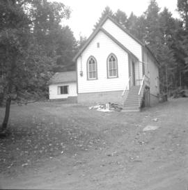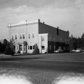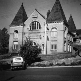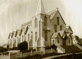
2013.6.36.1.002.050
·
Item
·
[June 1965]
Part of David Davies Railway Collection
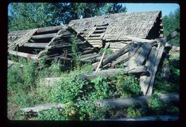
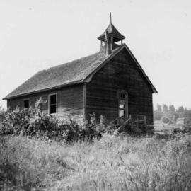
Photograph depicts a church or school on the south side of Craigflower Rd. in Victoria B.C. It is near or on the Songhees Reserve.