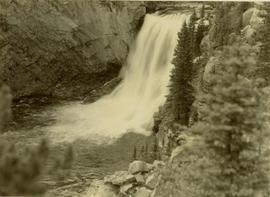
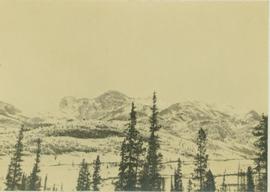
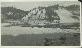
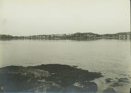
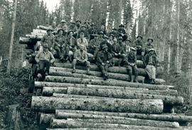
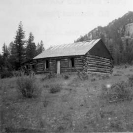
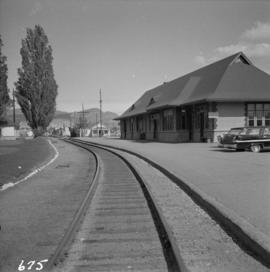
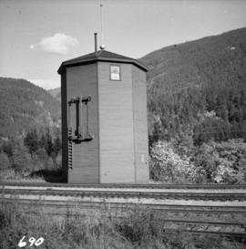
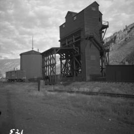
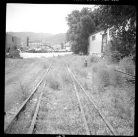
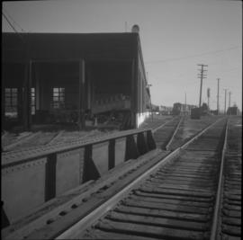
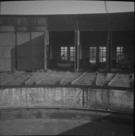
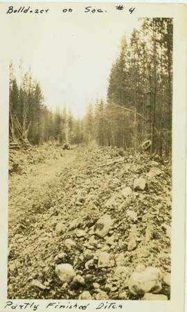
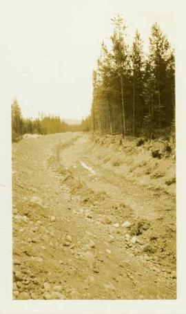
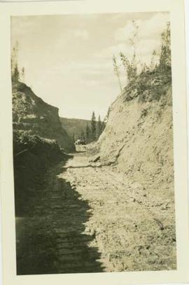
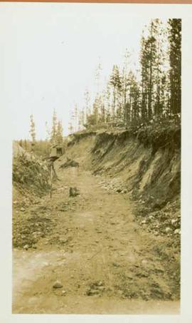
Photograph depicts a distant mountain range visible over a forested slope. The location of photo is between Wapiti Lake and Red Deer Valley.
Photograph depicts a tree-covered valley with a snow-covered mountain range in the background. The location of photo is between Wapiti Lake and Red Deer Valley.
Location also identified as lower falls, Red Deer River
Photograph depicts a distant river running through a forested mountainous landscape.
Photograph depicts a snowy plateau with a distant snow-covered mountain range in the background and coniferous trees in the foreground.
Photograph depicts a distant snow-covered mountain range with evergreen trees in the foreground.
Part of a set of 41 original black & white photographs [1908-1933-?]) of the Grand Trunk Pacific Railway line in BC depicting surveying crews, town sites (Prince Rupert and its port, Hazelton and Fort George), and First Nations Peoples.
Photograph depicts settlement across frozen lake. Trees cross midground, mountains stand in background. Handwritten annotation on verso of photograph reads: "Distant view of Tete Jaune B.C.", on recto of photograph: "I marked about where you loaded your boat the telephone pole is down the road toward 53. Tete Jaune Mile 52."
Item is a copyprint reproduced from the British Columbia Forest Service photographic records held at BC Archives.
Image depicts a section of disturbed ground at an unknown location.
Image depicts an area of disturbed ground, most likely due to a landslide, at an unknown location.
Image depicts a large section of disturbed ground at an unknown location.
Image depicts an area of disturbed ground, most likely due to a landslide, at an unknown location.
Photograph depicts a disused cabin that was perhaps abandoned in the late 1950's.
Photograph depicts a disused Canadian National Railway (CN) passenger depot at Kelowna. The offices still used for parcels, ticket sales, etc. There is still good freight traffic.
Photograph depicts a disused Canadian National Railway (CN) water tower at Spuzzum, 25 miles north of Hope. The view is looking east across the Fraser Canyon.
Photograph depicts a disused coaling stage beside the track that leads to Merritt at Spences Bridge. Coal cars were unloaded by hand or bottom emptied, in covered bay on the left, into metal grating below the track. Coal was then taken by continuous chain hoppers (1 C. powered) to overhead coal bunkers.
Photograph depicts the disused CPR Kettle Valley Railway line in Penticton. The trackage leads from the lakefront to the main yards. All the track was removed by July 1981. The view is looking northeast to the lake and the Incola Hotel.
Photograph depicts the disused CPR Kettle Valley Railway line in Penticton. The trackage leads from the Okanagan Lake CPR wharf to the main yards. All the trackage was obliterated by July 1981. The photo was taken about 1 block away from the lake and near Brunswick St. The view is looking southwest.
Photograph depicts a disused CPR roundhouse and a used turntable at the Port Coquitlam yards. The view is looking east.
Photograph depicts a disused CPR roundhouse at the Port Coquitlam yards. The house had 8 stalls and may be used for other purposes, but not for locomotives.
Photograph depicts a disused depot at Ellis and Clement. Taken from Ellis, looking east. Tracks across Ellis had just been removed. Side walk was inserted and black top had been laid. The removal of the road crossing signals had yet to be done.
Photograph depicts a disused depot at Ellis and Clement. Taken from Ellis, looking east. Track was an isolated piece between St. Paul Street and Ellis and had been subsequently removed. Davies notes the vague talk at the time of converting the building into a railway centre
Photograph depicts a disused general store at Coghlan, 5 miles southeast of Fort Langley in the Fraser Valley.
Photograph depicts a disused lumber storage and rail loading shed beside the Pacific Great Eastern, on the property of the Lions Gate Lumber Co. at the foot of Lloyd St. in North Vancouver.
Photograph depicts a disused rural school in the village of Cormi.
Photograph depicts a disused schoolhouse with the dates "1925" and "1902" on it. It is on River Rd. on the south bank of the Fraser River in Delta, opposite the west end of Annacis Island.
Photograph depicts a disused water tower 50 yards from the C.P.R. Shuswap Depot, looking west towards Kamloops.
Photograph depicts a bulldozer operating in a large ditch constructed within a forested landscape.
Photograph depicts a ditch constructed by a bulldozer within a forested area. Annotation on recto of photograph reads: "Bulldozer on Sec. #4 - partly finished ditch"
Photograph depicts a ditch cut through a forested landscape.
Image depicts a ditch of water at an uncertain location.
Photograph depicts a wide ditchline cut into a rocky landscape with a forested region located in the far background.
Photograph depicts a large ditchline with a steamshovel and forested landscape in the background
Item is a photograph of the diversion tunnel as engineers plan to blast the plug to allow the Peace River to be diverted for construction of the W.A.C. Bennett Dam.