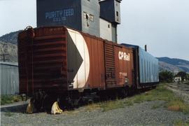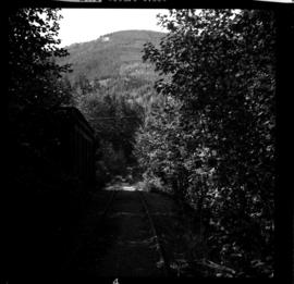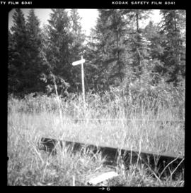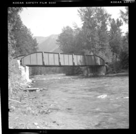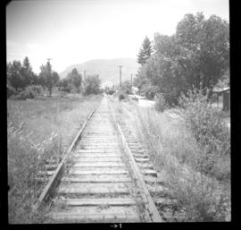
2013.6.36.1.104.17
·
Item
·
[13 May 2004]
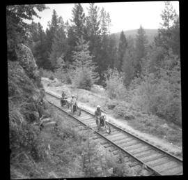
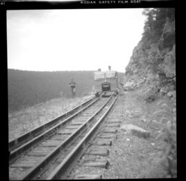
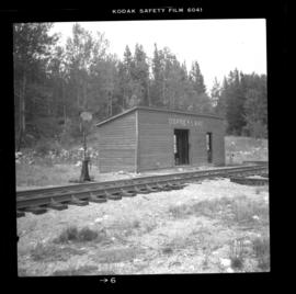
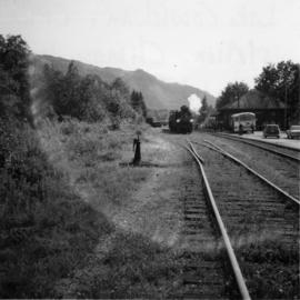
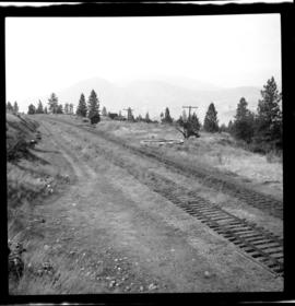
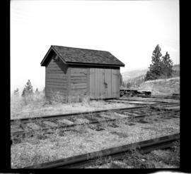
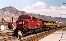
Part of David Davies Railway Collection
Photograph depicts westbound freight undergoing a crew change. The second and third locomotives were brand new "Alaska Railways." Presumed to be delivered to Alaska, but the engineer Davies spoke to said that they were on lease to the CPR.