2023.2.2.2.5
·
Item
·
1996
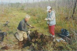
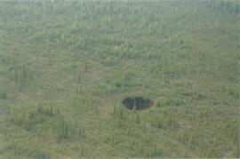
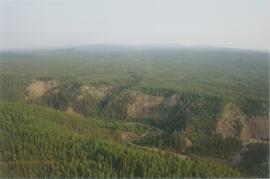
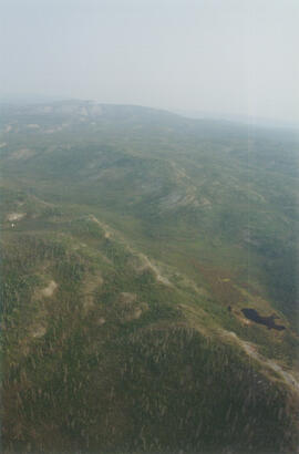
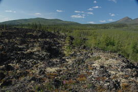
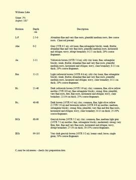
Part of Dr. Paul Sanborn fonds
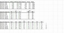
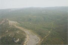
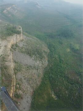
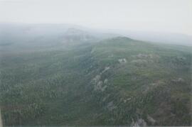
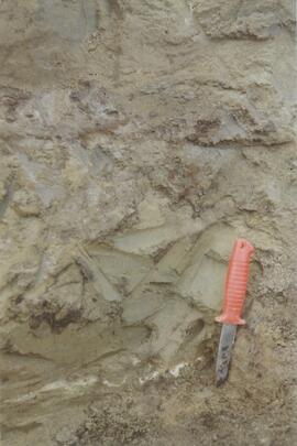
This born-digital "Profile Descriptions" document provides descriptions of Williams Lake (Skulow Lake), Aleza 1 & 2, Log Lake, and Lucille Mountain pedons.