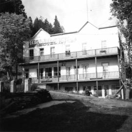
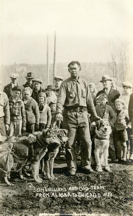
2013.6.36.1.079.13
·
Item
·
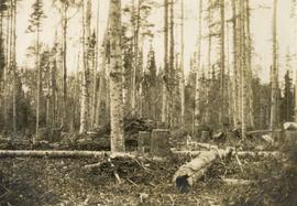
[July 1973]
Part of David Davies Railway Collection
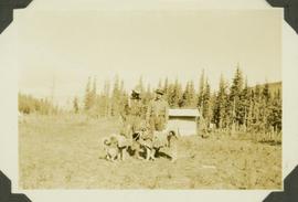
Photograph depicts a small barn that had just been built within the last 12 months.