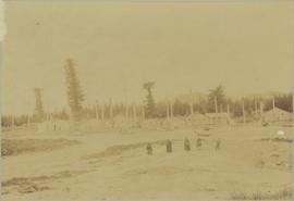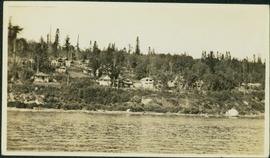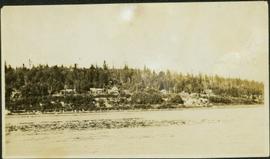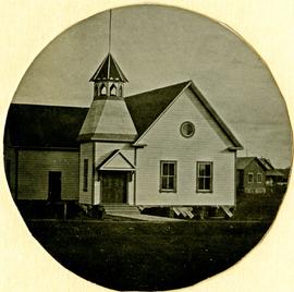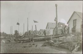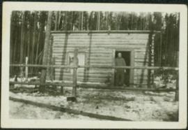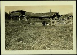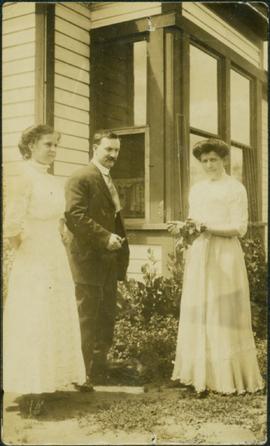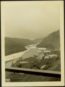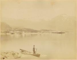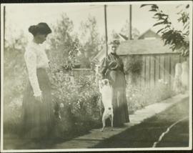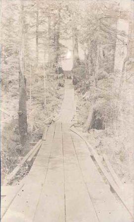
2004.2.1.22
·
Item
·
1898-1920
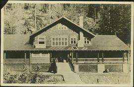
Part of Reverend R.W. Large fonds
Photograph depicts two men sitting on a staircase of a wooden walkway leading through a forest.