2000.19.2.134
·
Item
·
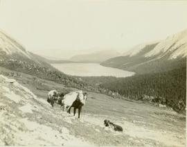
29 Aug. 1927-26 Sept. 1927
Part of Prentiss Gray Collection
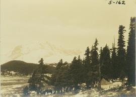
Photograph depicts an unidentified hunting guide laying on a grassy slope searching for game through a pair of binoculars while two pack horses stand by. In the background an alpine lake is visible surrounded by forested foothills and a mountain range.