Print preview Close
Showing 2193 results
Archival description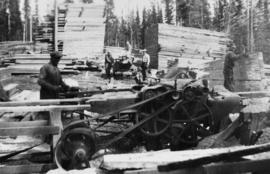
Lomen planer in operation at Peden Hill Sawmill
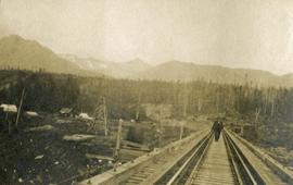
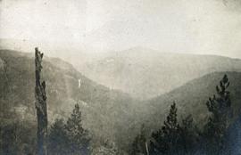
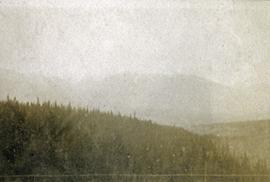
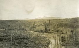
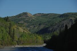
Looking down the Skeena River valley from Skeena Crossing
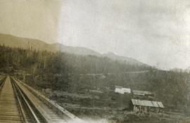
Looking down the Skeena River valley from Skeena Crossing
Looking down the Skeena River valley from Skeena Crossing
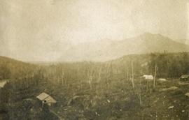
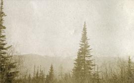
Looking east down Pass Creek to the valley of North Fork
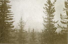
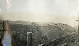
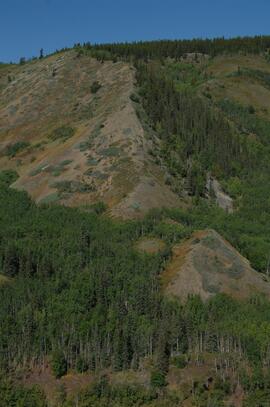
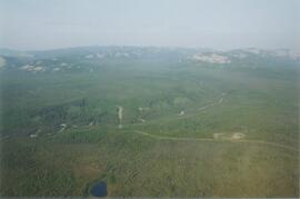
Looking east from Babine range
Looking east from Babine range
Looking east from Babine range
Looking east from Babine range
Looking into Bonaparte River from a stagecoach
Looking north on Fraser River from Stone Creek
Looking up Government Creek, Cariboo mountains in the background
Looking up Government Creek, Cariboo mountains in the background
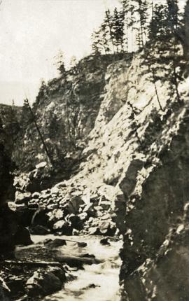
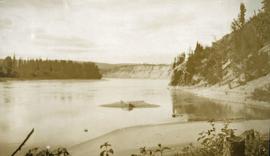
Low water in canyon
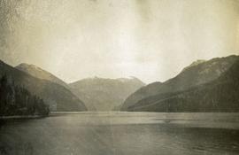
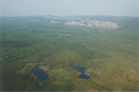
Lowe Inlet
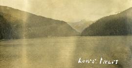
Lowe Inlet

Lower Sheep Creek canyon

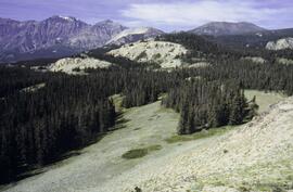
Lower Slims heavy sheep use area

Lower Slims heavy sheep use area (detail)
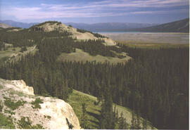
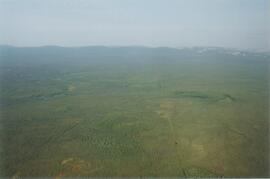
Lower Slims panorama
Lower Slims panorama

Lower Slims unburned grassland
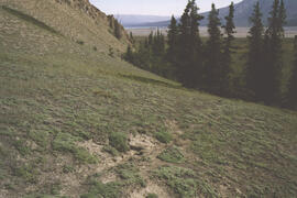
Lower Slims unburned grassland

Lower Slims unburned grassland (detail)
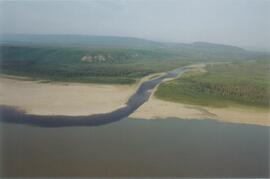
Lower Tuya River, ~5 km above the Stikine River confluence
Lower Tuya River, ~5 km above the Stikine River confluence
Lower Tuya River, facing downstream from bridge on Telegraph Creek Road

Lower Tuya River, facing downstream ~5 km above the Stikine River confluence
Lower Tuya River, facing upstream from bridge on Telegraph Creek Road
Lower Tuya River, facing upstream ~5 km above the Stikine River confluence
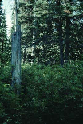
Lucille Mountain site view
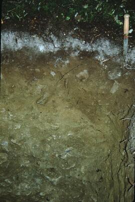
Lucille Mountain soil profile view
Lumber at Unknown Building
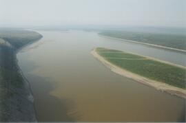
Mackenzie River
Mackenzie River south of Tulita
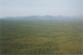
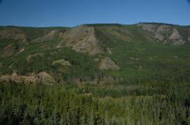
Mackenzie Valley - Franklin Mountains (1)
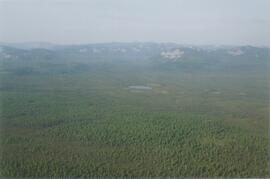
Mackenzie Valley - Franklin Mountains (2)
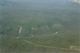
Mackenzie Valley - Franklin Mountains (3)
Mackenzie Valley - Franklin Mountains (4)
Mackenzie Valley - Franklin Mountains (5)
Mackenzie Valley - Franklin Mountains (6)
Mackenzie Valley - Franklin Mountains (7)

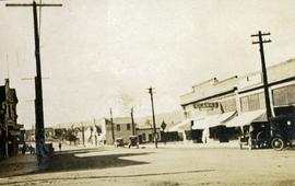
Main Street, Quesnel
Main streets of Grand Forks, BC
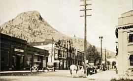
Main streets of Grand Forks, BC
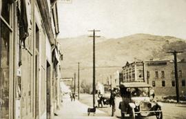
Main streets of Grand Forks, BC
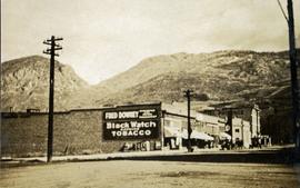
Main streets of Grand Forks, BC
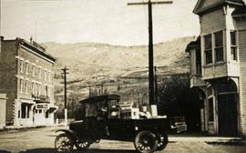
Main streets of Grand Forks, BC

"Make camp" on the road to Manson Creek
Man at Aleza Lake Research Forest