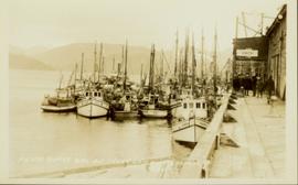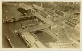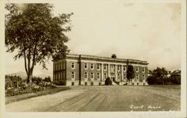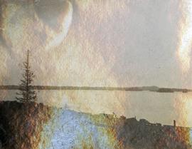
2014.10.1.245
·
Item
·
1912
Part of Arthur Holland Land Surveying Collection
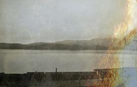
Photograph depicts a view from the shore looking out into Prince Rupert harbor.