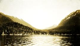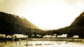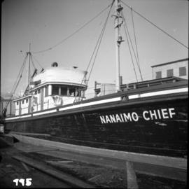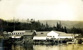
2009.10.3.09
·
Item
·
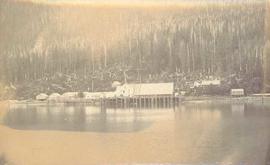
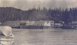
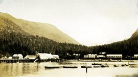
[between 1923 and 1926]
Part of Fred Jeffery Photograph Collection
Photograph depicts a view from the water, anchored row boats in the foreground, cannery and housing in the midground, treed hills and mountains in the background. Handwritten annotation below photograph reads, "Naas Harbour Cannery".