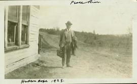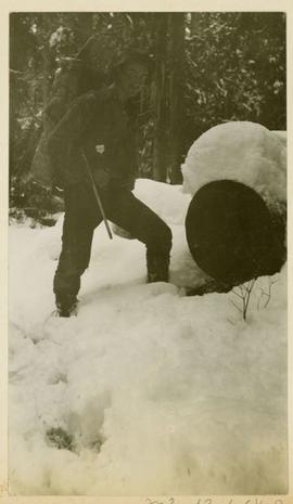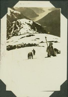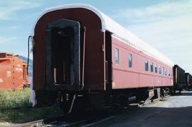
2002.7.1.54
·
Item
·
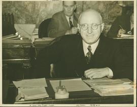
1938?
Part of H.G.T. (Harry) Perry fonds