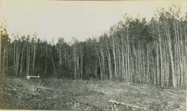
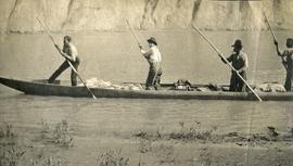
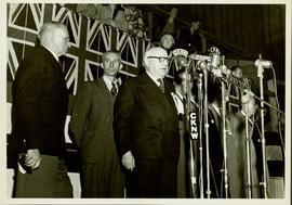
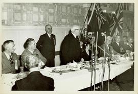
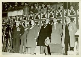
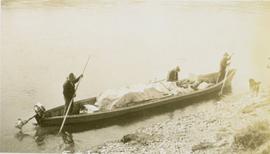
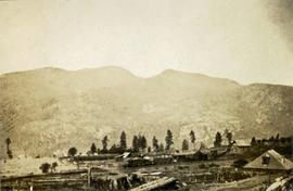
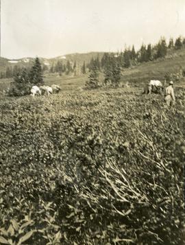
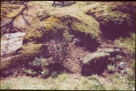
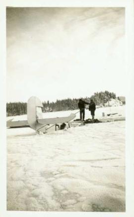
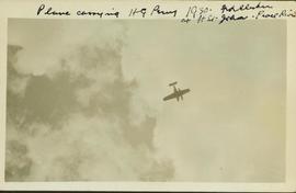
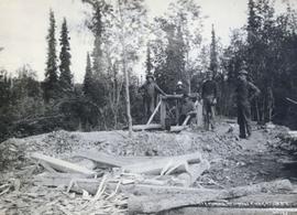
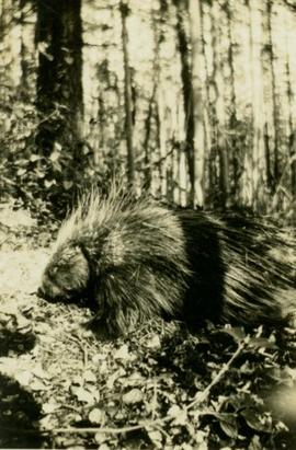
Print preview Close

Showing 20493 results

Archival description
20493 results with digital objects Show results with digital objects
2007.1.30.2.012 · Item · [30 June 1966]
Part of Aleza Lake Research Forest fonds

No caption provided with photograph negative. Appears similar to 2007.1.30.2.011, which has the following caption: "Poor quality Spruce left after diameter cutting. Note insect killed trees and leaning tree. Sparse stocking. Very poor increment. Devils Club site. Silty clay. No post logging regeneration. Continous understory of alder and willow. West Branch, F.E.S. Aleza Lake."

Pool Hall
2012.13.1.37.36 · Item · [1980?]
Part of J. Kent Sedgwick fonds

Image depicts an old pool hall, crowded with unknown individuals, somewhere in Wells, B.C.

Poling a canoe
2009.7.1.165 · Item · [ca. 1910]
Part of Archdeacon W. H. Collison fonds

Three Indigenous men stand in a canoe poling their craft along a shoreline while one man sits and steers. An unidentified village is visible along the opposite shore.

Police Barracks at Mile 47
2009.5.3.49 · Item · 1911
Part of Taylor-Baxter Family Photograph Collection

Photograph depicts three men wearing semi-formal attire at doorway to log building, miscellaneous supplies leaning against base of building. Dirt road in foreground, forest trees on hillside in background. Handwritten annotation on verso of photograph reads: "Mile 47 B.C. Police Barracks.", on recto of photograph: "Summit of Yellowhead pass and east boundary of British Columbia Mile 0. 699 miles to Prince Rupert. Tete Jaune Mile 52. Mile 47 east of Tete Jaune in the Park.", "1911".

Police Barracks at Mile 29
2009.5.3.48 · Item · 1911
Part of Taylor-Baxter Family Photograph Collection

Photograph depicts three men in semi-formal attire standing on front steps of log building with tin roof. Shovels, saw, ladder, buckets, boxes and logs lean against building. Forest trees, buildings, and hillside can be seen in background. Handwritten annotation on verso of photograph reads: "Police Barracks. Mile 29 B.C.", on recto of photograph: "Mile 29 East of Tete Jaune Mile 52."

2013.6.36.1.145.05 · Item · Aug. 1997
Part of David Davies Railway Collection

Photograph depicts a pole yard of Gorman Bros Ltd. Loading methods and quality were checked by CN inspectors in Kamloops, then on the main trans-continental line. These particular lines were destined for Ontario.

2013.6.36.1.149.11 · Item · 10 Aug. 1991
Part of David Davies Railway Collection

Photograph depicts where the Coquihalla Highway crossed over Coldwater River, 3 miles northwest of Brookmere. Trackage in the foreground was constructed in 1984/85 as its original routing interfered with the construction of the new highway built in 1985/86. This rebuilt rail bed had only been in use from 184/5 to May 1989.

2006.20.12.23 · Item · [ca. 1940]
Part of Northern BC Archives Historical Photograph Collection

Handwritten photo album caption below this photo reads: “Fort St John Apron. F/Rideouts 'Norseman'^" Arrow is pointed at plane on far right with the number "2466" on its side and unidentified equipment below. Runway in foreground, approximately four military planes in background surrounded with unidentified people and equipment.

Royal Canadian Air Force
Plane on Summit Lake, BC
2005.3.37 · Item · [ca. 1945]
Part of John Hart Highway Photograph Collection

Handwritten caption above this photo reads: "Plane on Sumit Lake." Logs can be seen floating on water in foreground, as well as trees on opposite shore in background. The seaplane has the letters "CF-ATF" on its side.

Plane on Summit Lake, BC
2005.3.36 · Item · [ca. 1945]
Part of John Hart Highway Photograph Collection

Handwritten caption above this photo reads: "Plane on Sumit Lake." Logs can be seen floating on water in foreground, as well as trees on opposite shore in background. The seaplane has the letters "CF-ATF" on its side.