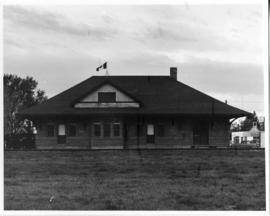
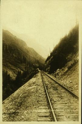
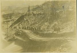
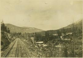
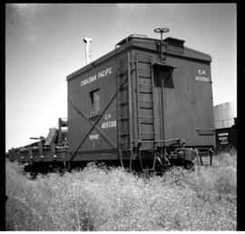
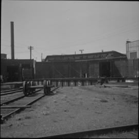
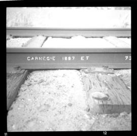
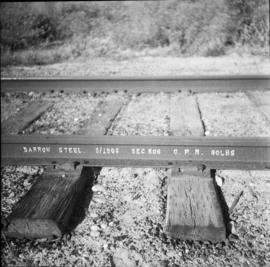
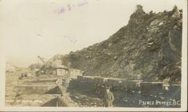
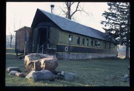
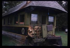
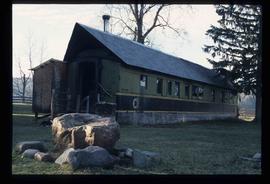
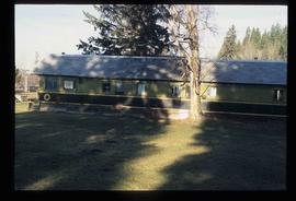
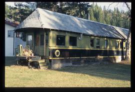
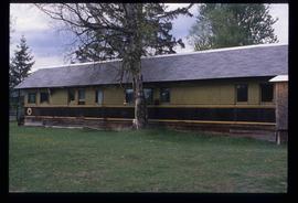
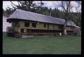
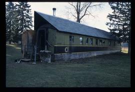
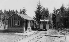
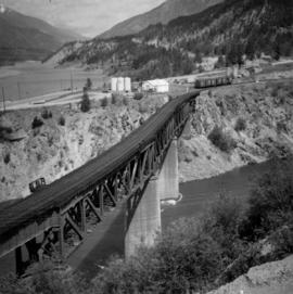
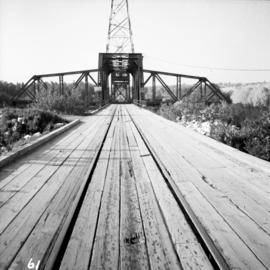
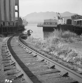
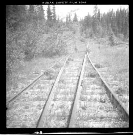
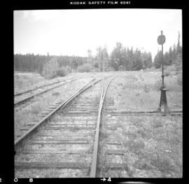
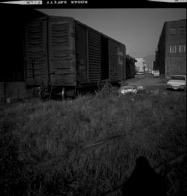
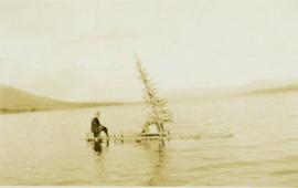
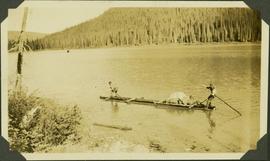
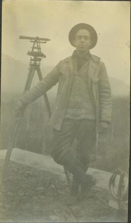
Photograph depicts a railroad station. Handwritten annotation on verso reads: " Claresholm Alberta"
Photograph consists of a section of railroad running along the edge of a forested mountain. Handwritten annotation along bottom of recto reads: "West Slope of Cascade Mountains."
Photograph depicts service car #409780 in the CPR Penticton yard. The car had no building date.
Photograph depicts a rail yard. Location and information unknown.
Image depicts a man and woman standing in the mouth of a tunnel from the old Kettle Valley Rail Road.
Image depicts the mouth of a tunnel from the Kettle Valley Rail Road.
Image depicts an unknown figure standing inside a tunnel from the old Kettle Valley Rail Road.
Image depicts a tunnel from the old Kettle Valley Rail Road.
Image depicts a woman standing inside a tunnel from the old Kettle Valley Rail Road.
Image depicts the mouth of a tunnel from the Kettle Valley Rail Road.
Image depicts rail road tracks west of Takla Landing.
Image depicts rail road tracks at an uncertain location.
Image depicts a rail road construct from Highway 97 at Mile 126; the slide is also labelled "McAlister."
Photograph depicts the rail on the CPR line near Okanagan Falls, within a quarter mile of the Okanagan Falls depots to the north. The rail is on the main line of the branch and is in daily use. It is located at approximately mile 10.2 from Penticton.
Photograph depicts rail on the CPR main line at Okanagan Falls, within a quarter mile north of the Okanagan Falls depot buildings. The line is in daily use and this portion is at about mile 10.2 from Penticton. The trackage was built here in 1931.
Photograph depicts the rail on the CPR line near Okanagan Falls, within a quarter mile of the Okanagan Falls depots to the north. The rail is on the main line of the branch and is in daily use. It is located at approximately mile 10.2 from Penticton. The trackage was built here in 1931.
Photograph depicts rail cars in Vancouver, B.C.
Photograph of a line of rail cars along a track next to a blasted pile of rubble. Printed annotation on recto reads: "Photo by McRae Bros. Prince Rupert." Handwritten annotation on verso reads: "Hello Charly. I have been dead for 2 month and just woke up tell the folks out home I am doing[??] fine. don't know when I will be down again Remember me to the good little woman, and weave[??] all Well. you're[??] friend Stan C." Postcard is addressed to: "Mr. Charles Chislett 96 Colonist Printing Co. Broad Street Victoria B.C." Verso is affixed with a one cent Canadian stamp. Postmark reads: "Prince Rupert B.C. [illegible date]."
Image depicts a house made from a rail car in an uncertain location. It could be in Hixon, Red Rock, or Woodpecker, B.C.
Photograph depicts a railcar and possible shed or depot. Location and details unknown.
Photograph depicts a rail bridge carrying the C.N.R. track over the Thompson River at Lytton, BCThe bridge is at the confluence of Fraser River and Thompson River. View looking north.
Photograph depicts a rail bridge.
Photograph depicts a disused rail barge slip on the south side of Vancouver harbour, just east of Campbell Ave. and leading off the Canadian National Railway (CN) and Great Northern Railway (GNR)trackage coming for the False Creek yards. The view is looking north.
Photograph depicts the rail at the end of a disused "Y", with both arms removed. This is at the CPR McCulloch depot located at mile 76.6 on the Carmi Subdivision. The rails are Canada Algoma, 85 lbs., and dated 1918 or 1919. There is room for two locomotives and a caboose to turn. The view is looking east.
Photograph depicts the trackage [main passing track?] at the McCulloch CPR depot, located at mile 76.6 on the Carmi Subdivision. The rail is 85 lbs. and dated 1940.
Photograph depicts a view looking northeast down a rail and road lane at the west end of Homer St. in Vancouver. It shows CP box car #296105 with end loading doors, built in November 1951. The car was empty. The rail in this area is dated 1911.
Caption: Rafting-de-Lux. The arrival of Father Christmas. Item is a photograph of a survey crewman aboard a makeshift raft carrying a small coniferous tree.
Caption: Rafting Tzahny Lake, groundhop country. Stuck on the mud; glacial silt, we have more picturesque names for it. Half hour earlier Bob's pole stuck at the bottom and he left the raft for a good bath. Item is a photograph of two survey crewman poling a raft laden with supplies away from a mud flat.
Photograph depicts three men working to move a raft carrying two horses from Hudson's Hope ferry landing.
Photograph depicts a man steering a wooden raft loaded with two bag through a shallow section of Finlay River that runs along a forested shoreline.
Photograph depicts a RAF Avro Vulcan Bomber that flew from Britain directly to BC for the Centennial International Airshow with a fuelling stop at Gander. The bomber was first introduced in 1952 and was built by AV Roe and Co. Manchester.
Annotation on slide: "20 cm radial growth on released subalpine fir, Summit Lk trial".
Photograph depicts a portrait of R.A. (Alex) Fallow that was attached to his resume for Director of Loto Canada.
Photograph depicts a close-up view of a quilt tapestry entitled "Community Panorama" from the Queen Charlotte City recycling project grant funded by Project Mobilization Canada Works.
Image depicts a general store in Quick, B.C.
Image depicts Kent Sedgwick standing in front of a sign with a dog in Quesnelle Forks, B.C. The sign describes the history of the site, which began as a mining camp in 1859, but was later completely abandoned after a fire in 1866. It is now managed as a Forest Service Recreation Project.