2012.13.1.3.010
·
Item
·
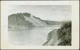
Apr. 1972
Part of J. Kent Sedgwick fonds
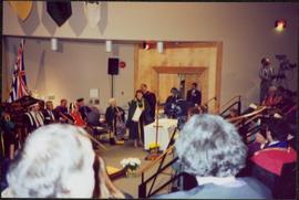
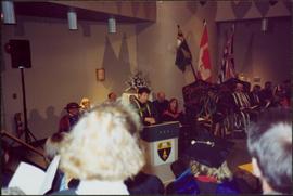
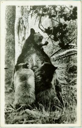
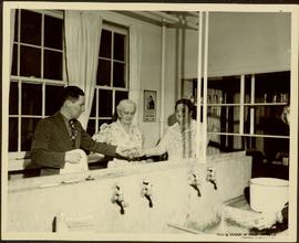
Image depicts part of the McMillan Regional Park in Prince George, B.C.