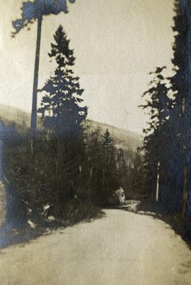
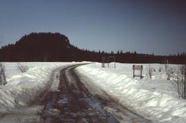
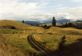
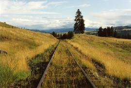
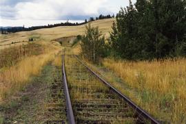
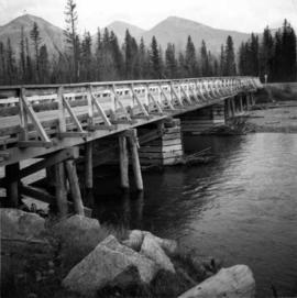
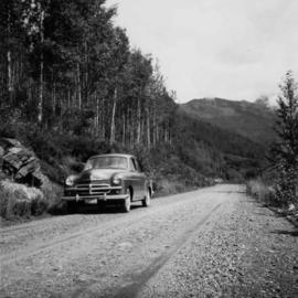
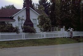
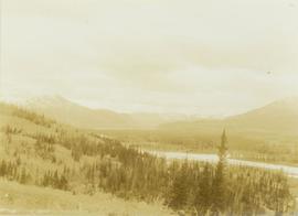
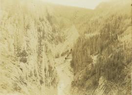
Image depicts the dirt road leading to Keithley Creek.
Image depicts the road leading to Hyder, which is on the other side of the Alaska-British Columbia border and is just a little south-west of Stewart, B.C.
Image depicts a road located somewhere near Birken, B.C.
Photograph depicts a road through a forest.
Item is a photograph of a road sign in North Dakota stating the distance to Ray and Williston.
Photograph depicts a road roller that was in the work yards of the North Cowichan District Municipality. It was a diesel machine coverted from a former steam roller and carried 1965 road registration plates. This suggested disuse for at least 6-12 months.
Photograph depicts a road roader at work doing black top patching and that belonged to the Pavements Department of the City of Vancouver. Built by Aveling Barford Ltd., Grantham, Lincs, England.
Image depicts a north view of a road somewhere in Woodpecker, B.C.
Image depicts a ditch near a road somewhere in Woodpecker B.C.
Image depicts a road somewhere in Woodpecker, B.C.
Image depicts a water-filled ditch near a road somewhere in Woodpecker B.C.
No annotation on slide.
Photograph depicts a road crossing somewhere on the "loops" on the Princeton to Jura line.
Photograph depicts a road crossing leading to the Forestry Department campsite at the south end of Hydraulic Lake. The location is about 1 mile south of McCulloch depot or at about mill 75.5, on the Carmi Subdivision. The rail here is 85 lbs. and dated 1940. The view is looking west.
Photograph depicts the uppermost crossing before Jura. Davies noted that though it was not listed on any timetable, it was believed that there was a waiting shed on the left side of the track beyond the road. Note the generous width of the railway property beyond the road that was possibly for putting in a level spur.
Photograph depicts the uppermost crossing before Jura.
Photograph depicts a road crossing somewhere on the "loops" on the Princeton to Jura line. Looking downgrade at a loop.
Photo depocts a road bridge in the Inner Harbour of Victoria.
Photograph depicts the road bridge over Toby Creek, just north of Invermere or 75 miles north of Cranbrook, looking at upstream piers.
Photograph depicts a road bridge in Quesnel.
Photograph depicts a road bridge that led from Fort Langley to a ferry slip on an island.
Photograph depicts the road bridge crossing over the Kootenay River at Fort Steele, 10 miles northwest of Cranbrook, looking downstream. Two piers of a new bridge can be seen behind the present one. The railway is from Golden to Fernie and built in approximately 1913.
Photograph depicts a bridge for road vehicles. Also visible is a single track of the CPR that went from Esquimalt to Nanaimo.
Photograph depicts a bridge for road vehicles. Also visible is a single track of the CPR that went from Esquimalt to Nanaimo. Both were opened to allow a large tug to proceed seawards.
Photograph depicts a road bridge at Squamish B.C., looking north onto the road leading into the village.
Photograph depicts a road bridge at Squamish B.C. from the north bank.
Photograph depicts the road bridge crossing the south section of the north arm of the Fraser River at Fraser St. The view is from the north bank of Lulu Island.
Photograph depicts a car parked on the road between Kaslo and New Denver, on the site of a former railway right-of-way.
Image depicts a road somewhere in the Upper Fraser Canyon, and a view of the hills and trees.
Photograph depicts the road and rail bridges at New Westminster, BCView is from the north and facing upstream.
Image depicts a mountain located somewhere along the Skeena River, and a road alongside it.
Image depicts a road with what appears to be a junkyard to the right of the image, likely located somewhere in Seton Portage, B.C.
Photograph depicts a road and buildings in winter.
Photograph depicts four signs on a board that read, "Road House," "Indian Grave," "Customs House," and "Miners Cabin."
Photograph depicts four signs on a board that read, "St James Church," "Farm Land and Cabin," Swanson's Store," and "RNWMP Post."
Postcard image of RMSS "BC Express" in Grand Canyon, Fort George
Lofty view of stern wheeler in river, snow capped mountains in background. Printed annotation on recto reads: “R.M.S. B.C. Express in Upper Canyon Fraser River.”
Photograph depicts Iona Campagnolo's assistant posing in front of R.L. Stevenson Cottage. Trip is possibly in relation to the 1980 Winter Olympics in Lake Placid, NY.
Water and dock in foreground, trees and cliffs in background.
Handwritten annotation on verso “’Boat Hammond at South Fort Geroge”.
Photograph depicts tree-covered cliffs on opposite shore, river in foreground.
Image depicts a river with dense trees on either side.
Photograph depicts a river running through an old burn site with barren trees lining the shores of the river. In the background a mountain range is visible with forested foothills at the base.
Photograph depicts a river running through a snowy landscape with a forest visible in the background.
Photograph depicts a river running through a heavily forested landscape.
Photograph depicts a river running through a forested landscape with mountains in the background.
Photograph depicts a river running through a heavily forested landscape.
Photograph depicts a river running through a carved mountain landscape with a forested cliffside.