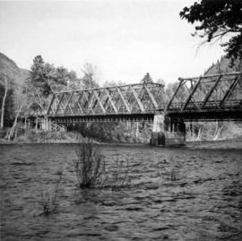
2013.6.36.1.054.38
·
Item
·
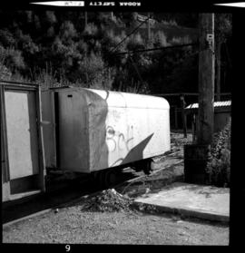
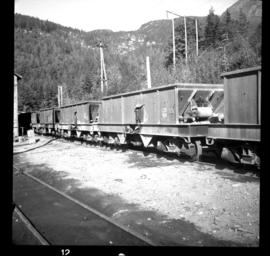
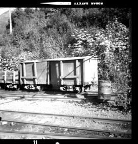
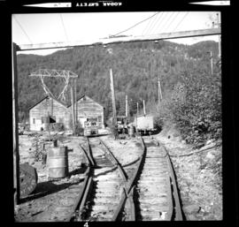
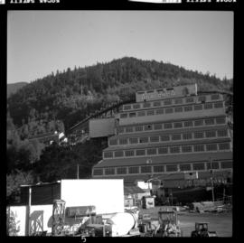
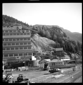
30 Sept. 1975
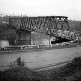
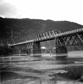
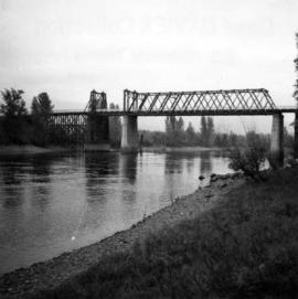
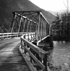
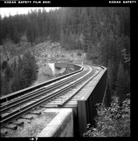
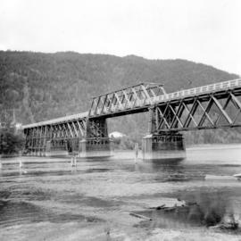
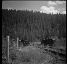
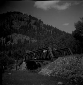
Part of David Davies Railway Collection
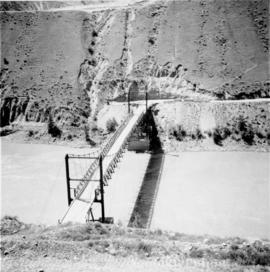
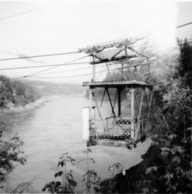
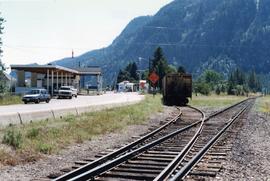
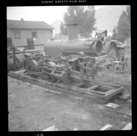
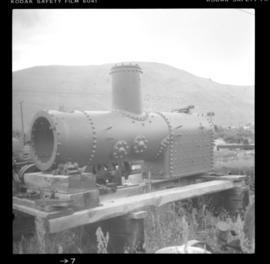
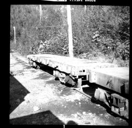
Photograph depicts a derelict mine electric railway . Visible is one of four surviving large flat cars at the Anaconda Britannia Mine. It was sold at the auction that was held in August, 1975 after the mine was closed on November 1, 1974.