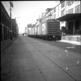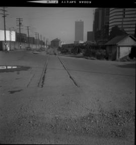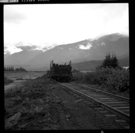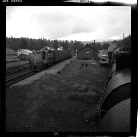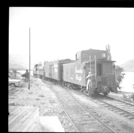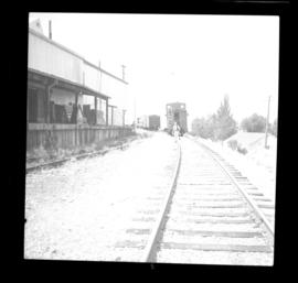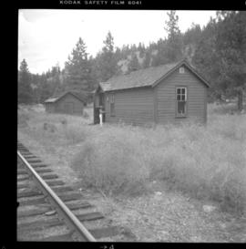
2013.6.36.1.015.03
·
Item
·
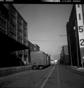
22 Oct. 1974
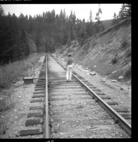
Part of David Davies Railway Collection
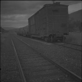
Photograph depicts the CPR line in Vancouver. Confusingly, the street is called "Mainland" but the box cars were spotted at the rear of 1152 Hamilton St. The nearest car is a Penn Central 167223, built in November 1972 and behind it is CP 165230 insulated box car. The view is looking northeast.