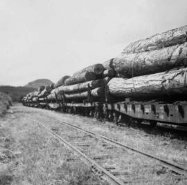
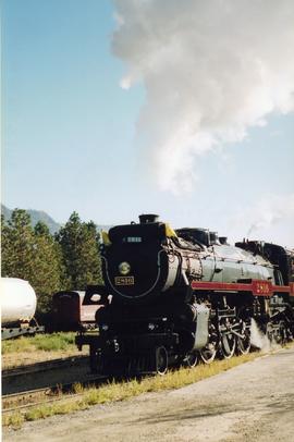
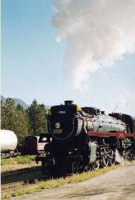
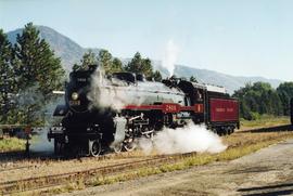
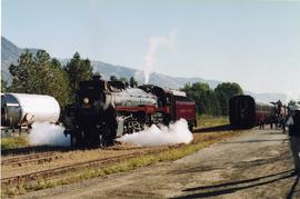
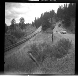
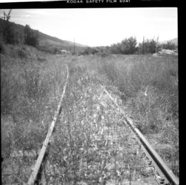
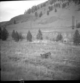
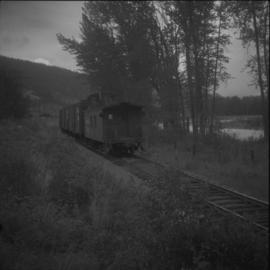
2013.6.36.1.030.01
·
Item
·
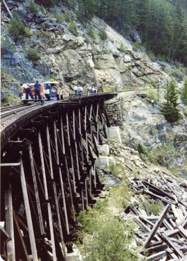
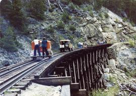
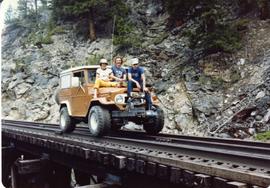
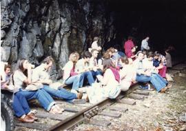
Sept. 1970
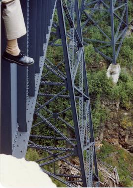
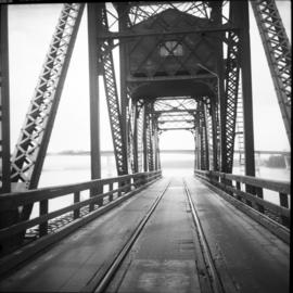
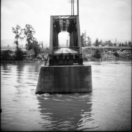
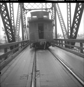
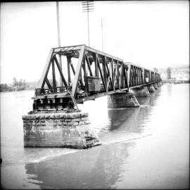
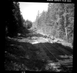
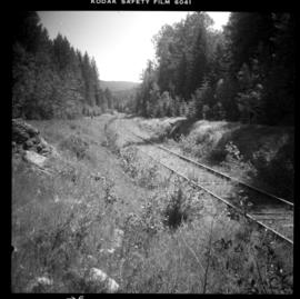
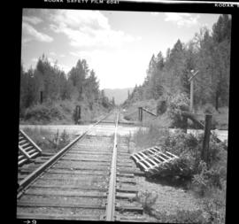
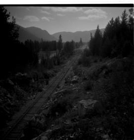
Part of David Davies Railway Collection
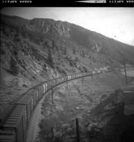
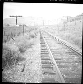
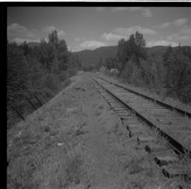
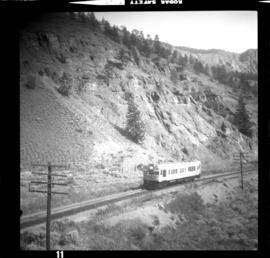
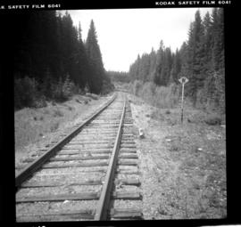
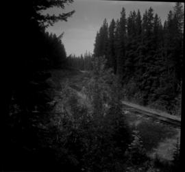
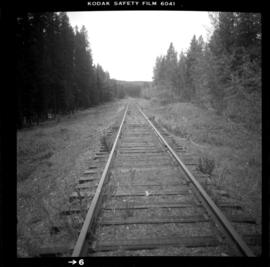
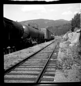
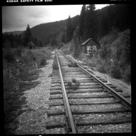
Photograph depicts rails shown, but also in a pile beyond the "R.H." hut. All are dated 1884, 1885, and 1886. Made variously by Barrow, Blaenaka, Dowlais and Buchum. Has one way freight per week in 1970. Nelson to Rosebury is on Monday. Rosebury to Naksup and then back to Rosebury is on Tuesday. Rosebury to Nelson is on Wednesday. CPR is said to be trying to close Rosebury to Nakusp section of 32.7 miles.