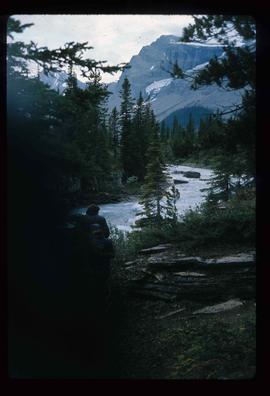
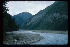
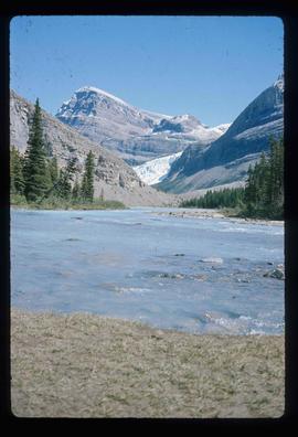
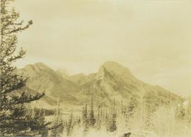
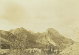
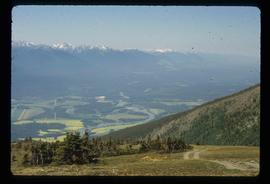
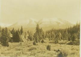
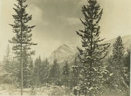
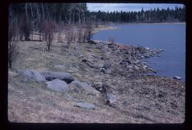
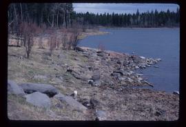
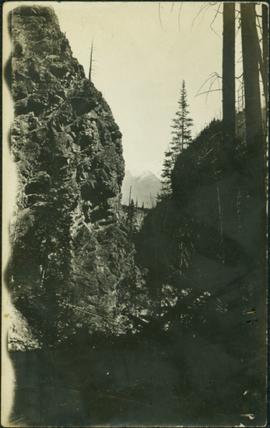
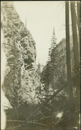
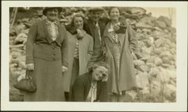
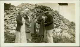
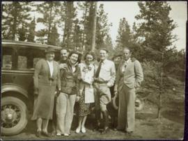
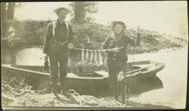
Image depicts a road leading to Prince Rupert, B.C.
Image depicts the road to Skagway, Alaska. Possibly located on the Klondike Highway in British Columbia with Tutshi Lake on the left.
Image depicts an old log cabin with the sign "Robin Hood Flour" on it at an uncertain location. It is possibly at the 153 Mile House.
Image depicts what is possibly the Robson River.
Image depicts a river, possibly the Robson River.
Image depicts what is possibly the Robson River.
Photograph depicts Roche Myette along Davona Creek near a campsite.
Image depicts the peak of the Rocher de Boule mountain from Hazelton, B.C.
Image depicts ridge-like rock formations at an uncertain location, though possibly somewhere near the Fraser River.
Photograph depicts men on river scow, large rock island or peninsula protruding into river behind them. Trees on opposite shore in background, large rock in foreground. Handwritten annotation on verso of photograph: "Grand Canyon. Fraser River. Big Rock.", on recto of copy print: "1911."
Photograph depicts the Rocky Mountain range visible from above distant tree tops.
Image depicts a heavily forested area located in the Rocky Mountain Trench, possibly near Dome Creek or Lamming Mills, B.C.
Image depicts a view of the Rocky Mountain Trench.
Image depicts the Rocky Mountain Trench from McBride, B.C.
Image depicts a view of an area somewhere near McBride in the Rocky Mountain Trench.
Image depicts the Rocky Mountain Trench from McBride, B.C.
Image depicts a view of the Rocky Mountain Trench somewhere near McBride, B.C.
Image depicts a view of McBride in the Rocky Mountain Trench.
Image depicts a view of the Rocky Mountain Trench somewhere near McBride, B.C.
Photograph depicts a Rocky Mountain vista seen across a forested plateau.
Photograph depicts a Rocky Mountain vista seen through a snow-covered forest.
Image depicts the rocky shore of an unidentified body of water, possibly near Meldrum Creek, B.C.
Photograph depicts a rocky mountain slope covered in snow.
Image depicts two rows of houses in an unknown location.
Annotation on slide: "CP 57 Lower Burnt, January 1992, Rubber-tired skidder on road, R-O-W in advance regen, Dawson Crk district"
Image depicts a small foot bridge at an unknown location. The slide is simply labelled "Rudi's Bridge."
Image depicts several old, ruined cars and an unknown individual in Island Cache.
Image depicts a small, ruined shed somewhere in the Okanagan Kettle Valley.
Photograph depicts a landscape shot of rushing water with a forested area in the background.
Image depicts the Salmon River by Fraser Lake.
Image depicts an old log cabin in Salmon Valley.
Image depicts an old log house with a collapsing roof in Salmon Valley.
Image depicts sand beds with a shovel present for size reference. The slide places it at the "BCR site," possibly in Prince George, B.C.
Photograph depicts creek barely visible at bottom of steep valley in cliffs. Trees and underbrush in foreground, mountains visible in background. It is believed that this photograph may have been taken near Mt. Robson. Handwritten annotation on recto of photograph duplicate reads: "Sand Creek."
Photograph depicts creek barely visible at bottom of steep valley in cliffs. Trees and underbrush in foreground. It is believed that this photograph may have been taken near Mt. Robson. Handwritten annotation on recto of photograph reads: "Sand Creek."
Photograph depicts small log buildings and loaded wagons in cleared dirt area. Building on far left has the sign "POOL HALL" posted on front . Treetops, lumber piles, and hills in background. Mountains can be seen in distance. Handwritten annotation on verso of photograph reads: "Sand Creek. B.C."
Annotation on slide: "BCMoF"
Photograph depicts H.F. Glassey standing between two women. Sarah stands on right, holding umbrella. Cleared area in front of fence crosses midground, forest in background.
Sarah and Bert stand with unidentified woman in cleared area on hilltop, forest and hills in background.
Sarah Glassey stands in cleared forest path lined with logs, tree stumps on left and small dog at her feet.
Sarah Glassey stands behind woman seated on ground, lake and hills in background.
Photograph depicts Sarah Glassey, holding her fox terrier, and standing at corner of log house. Felled trees in foreground, forest trees in background. Photograph believed to have been taken on the 160 acres of land which Sarah purchased in the Kispiox Valley in 1911. She became the first single woman to pre-empt land in British Columbia. This house was built in a year with the help of a Gitxsan Elder.
Group of four women and one man stands in front of large rock pile in unidentified area. Sarah stands on far left, ladder visible in background. Similar group also featured in items 2009.5.2.274 - 2009.5.2.294.
Group of four women and one man stands in front of large rock pile in unidentified area. Sarah stands second from left, unknown object hangs above pile in right background. Similar group also featured in items 2009.5.2.274 - 2009.5.2.294.
Group of seven men and women stands in front of car in dirt road, forest in background. Sarah Glassey stands on far left. Similar group also featured in items 2009.5.2.275 - 2009.5.2.294.
Photograph depicts man standing with women believed to be Sarah Glassey. The pair holds a line of fish between them. Boat and trees in background. Handwritten annotation on recto of photograph: "[Mert?] and myself after an hours trolling."
Image depicts logs being stripped of their bark at a saw mill in Prince George, B.C.