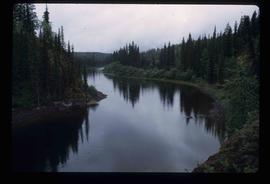
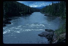
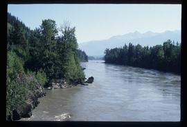
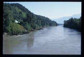
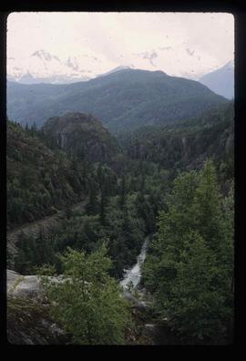
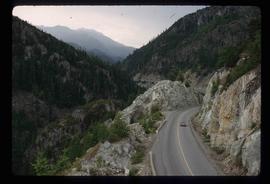
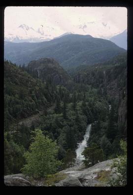
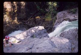
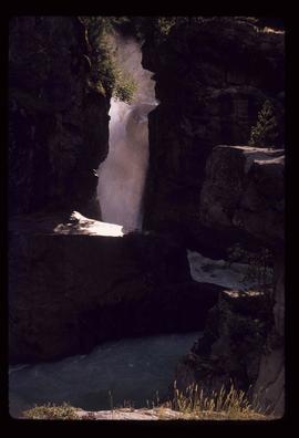
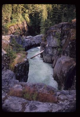
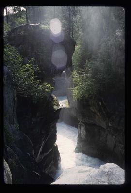
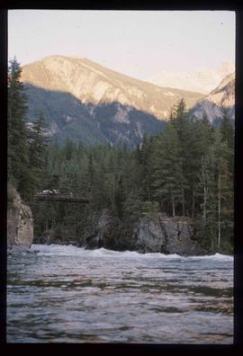
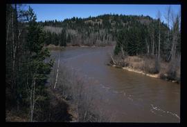
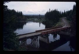
Image depicts a bridge over the Nation River somewhere south of Manson Creek, B.C.
Image depicts the Nation River somewhere south of Manson Creek, B.C.
Image depicts a camper parked on the shore of Nation Lakes, south of Manson Creek, B.C.
Image depicts a south-west view of the Nass Valley.
Image depicts a bridge over the Nass River.
Image depicts the Nass River from a bridge at an uncertain location.
Image depicts what is possibly the Nass River.
Photograph depicts a cannery on pilings with a body of water in the foreground with a forested area in the background.
Photograph depicts a cannery on wood pilings with several other buildings along a forested shoreline with a body of water and boat in the foreground.
Image depicts Nairn Falls in Nairn Falls Provincial Park.
Image depicts a view of Nairn Falls Provincial Park.
Image depicts the Nairn Falls in Nairn Falls Provincial Park south of Pemberton, B.C. There is an unknown child sitting on the rocks in the image.
Image depicts the Nairn Falls in Nairn Falls Provincial Park south of Pemberton, B.C.
Image depicts Nairn Falls.
Image depicts the Nairn Falls in Nairn Falls Provincial Park south of Pemberton, B.C.
Image depicts Nairn Falls.
Photograph depicts a Muskeg pack horse lying down, stuck in a bog.
Photograph depicts Murray River running through a forested landscape. In the foreground burnt trees are visible while a mountain range is visible in the background.
Image depicts a man sliding down the remaining snow on Murray Ridge.
Image depicts an unknown individual and some snow located somewhere along the Murray Ridge.
Image depicts the back of a man looking out over Murray Ridge.
Image depicts a view of Murray Ridge.
Photograph depicts a a mule deer hunting kill in Lillooet, BC.
Image depicts a muddy back road and an old shack at an uncertain location.
Image depicts a rail road bridge over the Mud River.
Image depicts the Mud River.
Image depicts what appears to be a mud house with grass and weeds growing on the roof at an uncertain location. An unknown woman is sitting on a bench outside of it.
Image depicts Mud River, also known as the Chilako River, at Blackwater Road, Prince George, B.C.
Image depicts a river somewhere in Mt. Robson Provincial Park, with a bridge running over it. The slide itself is labelled "Robson station."
Image depicts an unknown individual crouching by a lake somewhere near Mt. Robson.
Image depicts a group of hikers somewhere in the Mt. Robson Provincial Park.
Image depicts a pair of hikers and a view of Mt. Robson Provincial Park.
Image depicts a view of Mt. Robson Provincial Park, with a group of hikers hiking up a mountain side in the foreground.
Image depicts a group of hikers somewhere in Mt. Robson Provincial Park.
Image depicts a glacier somewhere in Mt. Robson Provincial Park.
Image depicts a range of mountains in the Mt. Robson Provincial Park.
Image depicts a view of Mt. Robson Provincial Park.
Image depicts the peak of Mt. Robson.