2023.2.2.4.4.108
·
Item
·
2004
Part of Dr. Paul Sanborn fonds
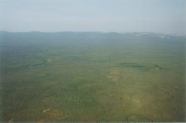
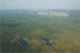
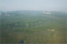
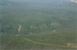
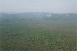
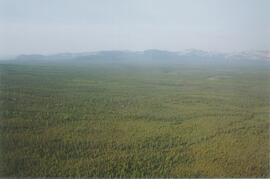
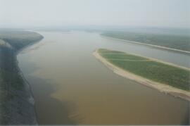
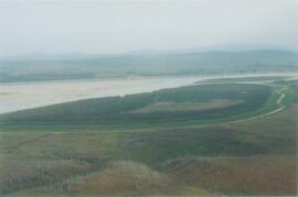
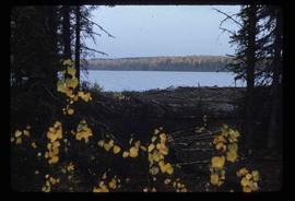
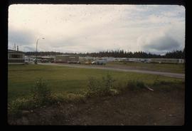
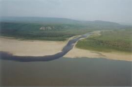
Photograph depicts the Mackenzie Valley and the Franklin Mountains.