2009.7.1.206
·
Item
·
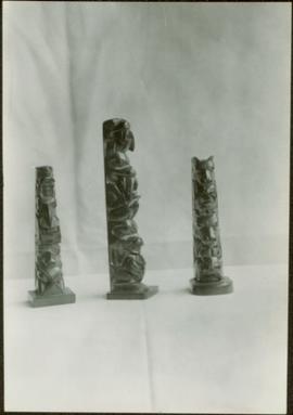
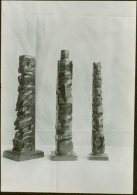
[ca. 1939]
Part of Archdeacon W. H. Collison fonds
Three model totem poles carved out of argillite and of various heights standing as a trio against a white backdrop. Handwritten annotation in pen on verso reads: “W.E. Collison.” Stamped annotation on verso reads: “Department of Mines and Resources, Photographic Section. Oct. 6, 1939”. Numeric annotation on verso: “43-3”