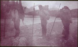
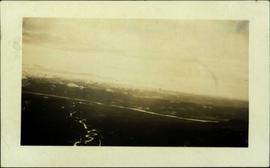
2006.20.3.21
·
Item
·
[between 23 May 1906 and 15 October 1906]
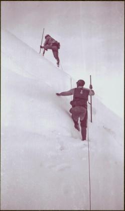
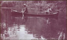
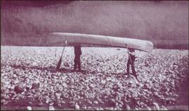
Part of Northern BC Archives Historical Photograph Collection
Photograph depicts three unknown men standing in water while pulling loaded canoe by rope. Rocky shore and hills in background. Illegible handwritten annotation visible on negative: "...[K. River]?" (Kopoka?)
Image is one of 65 photos documenting a survey of the Canada-Alaska Boundary, Taku River area, May 23 to Oct. 15, 1906.
This particular photo is one of 8 found in original enclosure with the following handwritten annotation: "From main camp up Kopoka River. Scenes with persons in." See also items 2006.20.3.14 - 2006.20.3.20.