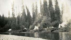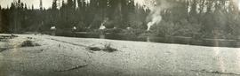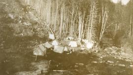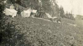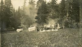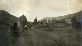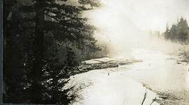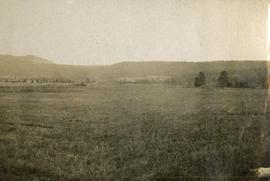
2014.10.1.254
·
Item
·
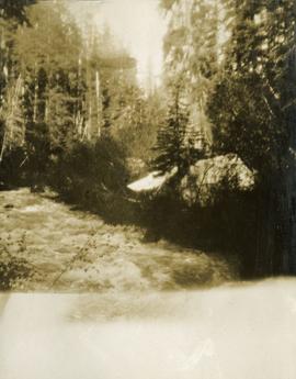
1913
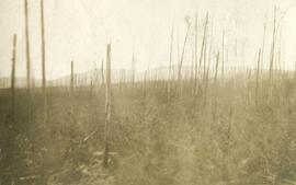
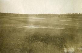
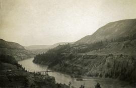
Part of Arthur Holland Land Surveying Collection
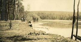
Photograph depicts a view of a creek, trees and canvas tents on the opposite shore. Smoke is rising from a chimney installed in one of the tents. Survey of 55th parallel.