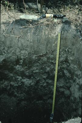
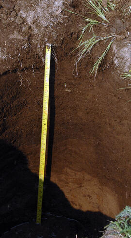
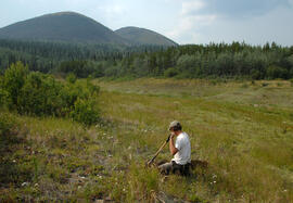
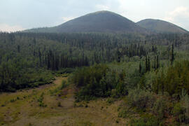
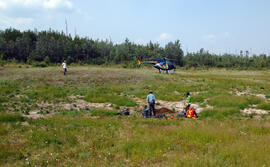
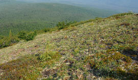
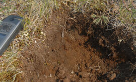
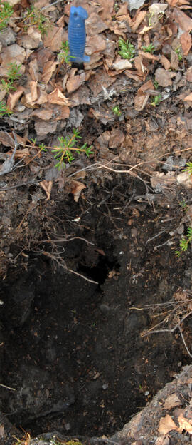
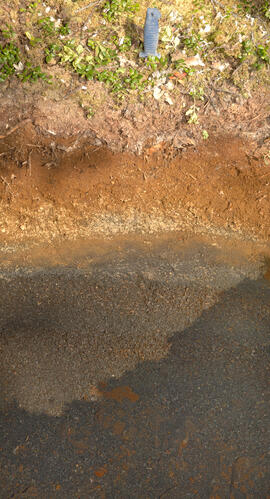
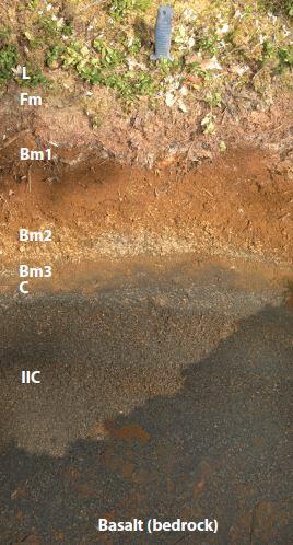
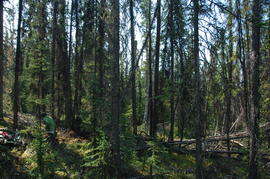
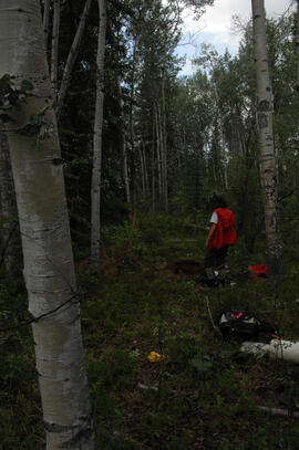
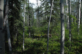
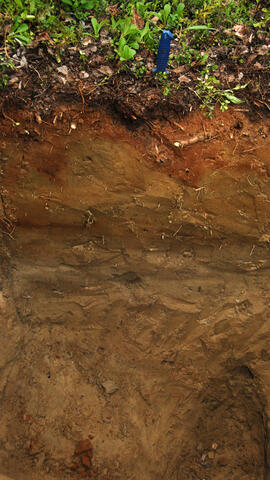
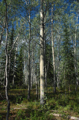
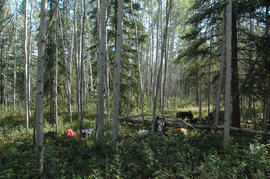
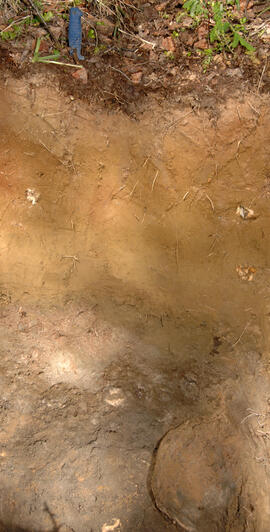
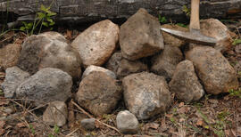
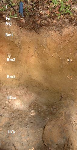
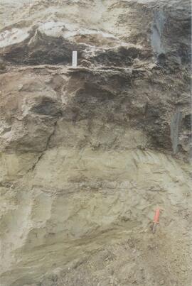
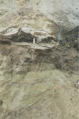
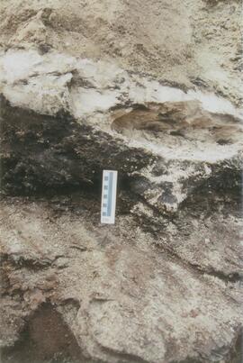
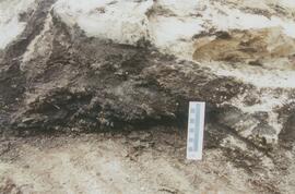
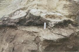
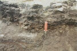
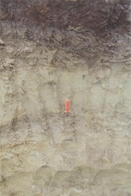
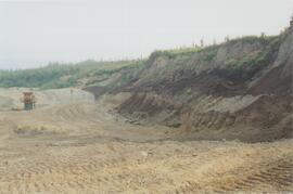
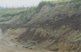
File consists of slides depicting the sod turning ceremony for the UNBC IK Barber Enhanced Forestry Lab, UNBC campus, bear lake, and a pipeline.
Image depicts a snow gauge at an uncertain location.
File consists of photographic slides from the Arocena & Sanborn 1999 regional soil mineralogy study.
File consists of computer disk with "over[looked?] oral histories" files. Slides primarily contain pictures of women who were the subjects of Ainey's research.
File consists of slides depicting the Aleza Lake Research Forest and area taken by Michael Jull.
File consists of slides depicting the Aleza Lake Research Forest and area taken by John Revel.
This image appears as Figure 8 in the publication:
Sanborn, P., 2010. Soil reconnaissance of the Fort Selkirk volcanic field, Yukon (115I/13 and 14).
In: Yukon Exploration and Geology 2009, K.E. MacFarlane, L.H. Weston and L.R. Blackburn
(eds.), Yukon Geological Survey, Whitehorse, Yukon. pp. 293-304. https://emrlibrary.gov.yk.ca/ygs/yeg/2009/2009_p293-304.pdf
This image appears as Figure 9 in the publication:
Sanborn, P., 2010. Soil reconnaissance of the Fort Selkirk volcanic field, Yukon (115I/13 and 14).
In: Yukon Exploration and Geology 2009, K.E. MacFarlane, L.H. Weston and L.R. Blackburn
(eds.), Yukon Geological Survey, Whitehorse, Yukon. pp. 293-304. https://emrlibrary.gov.yk.ca/ygs/yeg/2009/2009_p293-304.pdf
This image appears as Figure 11 in the publication:
Sanborn, P., 2010. Soil reconnaissance of the Fort Selkirk volcanic field, Yukon (115I/13 and 14).
In: Yukon Exploration and Geology 2009, K.E. MacFarlane, L.H. Weston and L.R. Blackburn
(eds.), Yukon Geological Survey, Whitehorse, Yukon. pp. 293-304. https://emrlibrary.gov.yk.ca/ygs/yeg/2009/2009_p293-304.pdf
This image appears as Figure 4 in the publication:
Sanborn, P., 2010. Soil reconnaissance of the Fort Selkirk volcanic field, Yukon (115I/13 and 14).
In: Yukon Exploration and Geology 2009, K.E. MacFarlane, L.H. Weston and L.R. Blackburn
(eds.), Yukon Geological Survey, Whitehorse, Yukon. pp. 293-304. https://emrlibrary.gov.yk.ca/ygs/yeg/2009/2009_p293-304.pdf
This image appears as Figure 2 in the publication:
Sanborn, P., 2010. Soil reconnaissance of the Fort Selkirk volcanic field, Yukon (115I/13 and 14).
In: Yukon Exploration and Geology 2009, K.E. MacFarlane, L.H. Weston and L.R. Blackburn
(eds.), Yukon Geological Survey, Whitehorse, Yukon. pp. 293-304.
https://emrlibrary.gov.yk.ca/ygs/yeg/2009/2009_p293-304.pdf