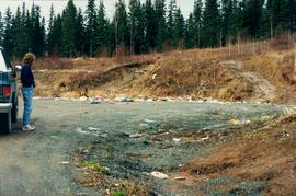
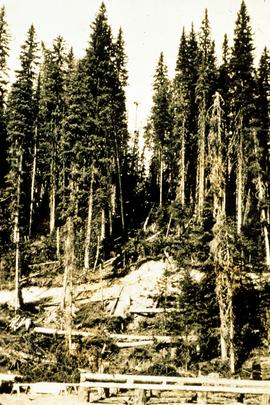
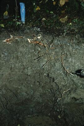
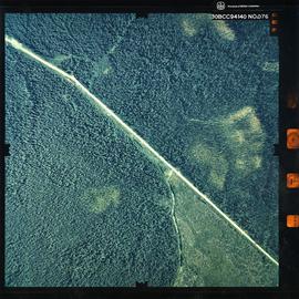
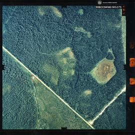
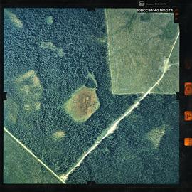
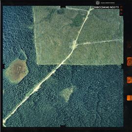
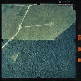
Photograph depicts the Aleza Lake regional district garbage dump in October 1992.
Slide depicts the original wooden BC Forest Service sign for the Aleza Lake Forest Experiment Station.
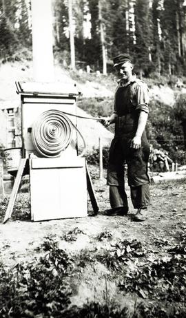
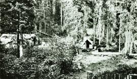
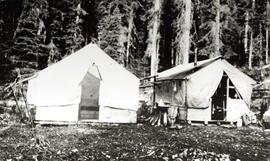
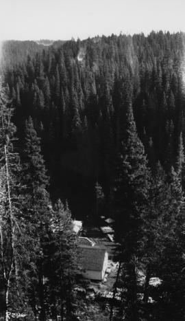
Item is a photograph of a copy print, resulting in a low quality photographic reproduction. Reproduced as a print, slide, and a negative. Location of original photograph is unknown.
Item is a photograph of a copy print, resulting in a low quality photographic reproduction. Reproduced as a print, slide, and a negative. Location of original photograph is unknown.
Item is a photograph of a copy print that has been reproduced as a slide, resulting in low photographic quality. Location of original photograph unknown.
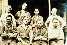
Back, left to right: Pinker, Rigler, Frank Dickson, Jack Freeborn
Front, left to right: Proste, Eric Garman, John Gerlitsky, Herbert (Ray) Sansom
Item is a photograph of a copy print that has been reproduced as a slide, resulting in low photographic quality. Location of original photograph unknown.
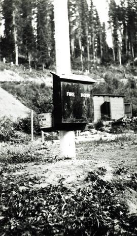
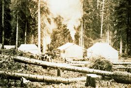
The improvised forest fire "lookout shows up in the background. A small experimental nursery is in the foreground." --from the notes of Ralph Schmidt in accompanying file
Item is a photograph of a copy print, resulting in a low quality photographic reproduction. Reproduced as a print, slide, and a negative. Location of original photograph is unknown.
Item is a photograph of a copy print, resulting in a low quality photographic reproduction. Reproduced as a print, slide, and a negative. Location of original photograph is unknown.
Item is a copyprint reproduced from the British Columbia Forest Service photographic records held at BC Archives.
Item is a photograph of a copy print that has been reproduced as a slide, resulting in low photographic quality. Location of original photograph unknown.
Item is a photograph of a copy print, resulting in a low quality photographic reproduction. Reproduced as a print, slide, and a negative. Location of original photograph is unknown.
Item is a photograph of a copy print that has been reproduced as a slide, resulting in low photographic quality. Location of original photograph unknown.
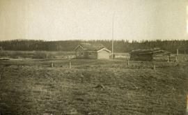
Photograph depicts an open field with a fence, house and shed in the midground, low treed hills in the background.
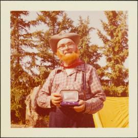
Item is a photograph of Alex Moffat dressed as a prospector holding gold nuggets he salted into a gravel bed and later panned out and gave to Princess Margaret.
File consists of Air photos BC85019 no. 141-143, 197-198 and BC5249 no. 10, 12, and 29.
File consists of 10 air photos: BC85019 No. 111, 112, 140, 199 (CFS McGregor written on reverse), 200; BC77004 No. 199 (comment on reverse re location of tie point, 200; and 3 higher altitude air photos with no obvious label. Note that BC77004 No. 199 and 200 have MOF stamps on the reverse.
In July 2009, Dr. Paul Sanborn undertook the first soils field research at the Fort Selkirk volcanic field in central Yukon, with helicopter support and funding from the Yukon Geological Survey. This file consists of prints of aerial photographs that depict the area accessed for the study, upstream from the confluence of the Yukon River and the Pelly River.
Air photographs include:
Flight line A17210, Photo Nos. 54-60 (taken 1960)
Flight line A22354, Photo Nos. 43-45, 47-48 (taken 1971)
Flight line A27516, Photo Nos. 48-52 (taken 1989)
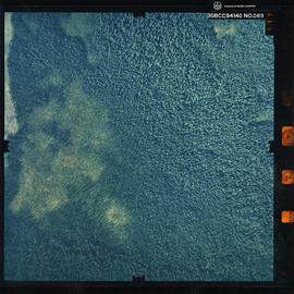
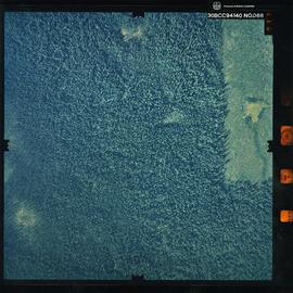
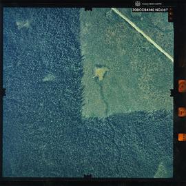
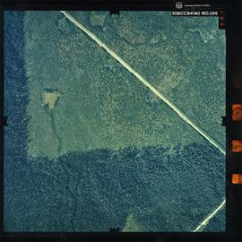
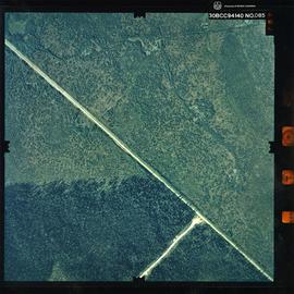
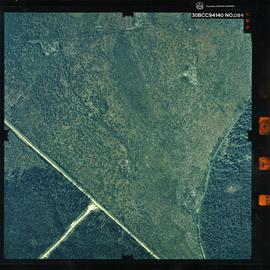
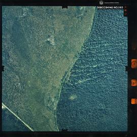
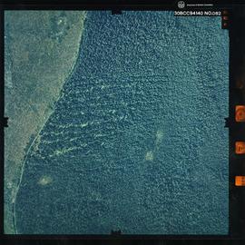
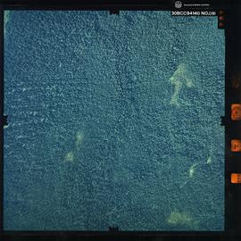
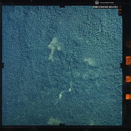
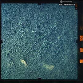
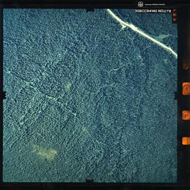
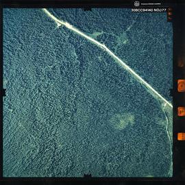
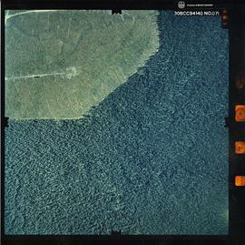
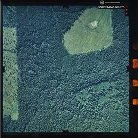
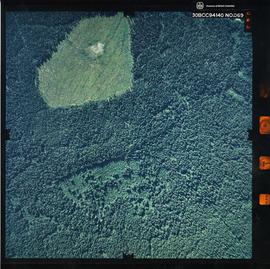
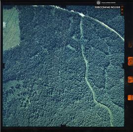
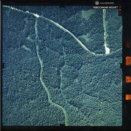
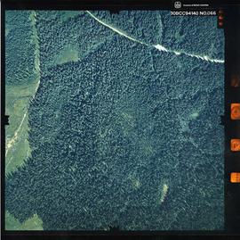
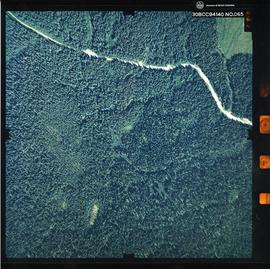
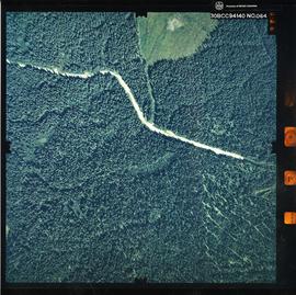
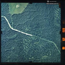
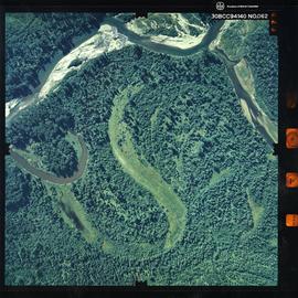
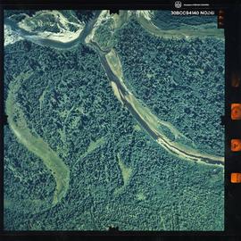
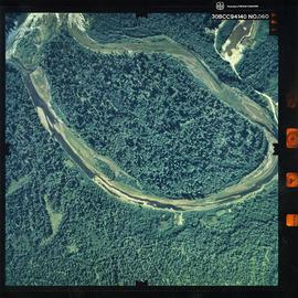
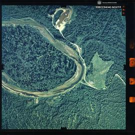
Photograph is a remote-sensing image of the Aleza Lake Research Forest from 1994.
Photograph is a remote-sensing image of the Aleza Lake Research Forest from 1994.
Photograph is a remote-sensing image of the Aleza Lake Research Forest from 1994.
Photograph is a remote-sensing image of the Aleza Lake Research Forest from 1994.
Photograph is a remote-sensing image of the Aleza Lake Research Forest from 1994.
Photograph is a remote-sensing image of the Aleza Lake Research Forest from 1994.
Photograph is a remote-sensing image of the Aleza Lake Research Forest from 1994.
Photograph is a remote-sensing image of the Aleza Lake Research Forest from 1994.
Photograph is a remote-sensing image of the Aleza Lake Research Forest from 1994.
Photograph is a remote-sensing image of the Aleza Lake Research Forest from 1994.
Photograph is a remote-sensing image of the Aleza Lake Research Forest from 1994.
Photograph is a remote-sensing image of the Aleza Lake Research Forest from 1994.
Photograph is a remote-sensing image of the Aleza Lake Research Forest from 1994.
Photograph is a remote-sensing image of the Aleza Lake Research Forest from 1994.
Photograph is a remote-sensing image of the Aleza Lake Research Forest from 1994.
Photograph is a remote-sensing image of the Aleza Lake Research Forest from 1994.
Photograph is a remote-sensing image of the Aleza Lake Research Forest from 1994.
Photograph is a remote-sensing image of the Aleza Lake Research Forest from 1994.
Photograph is a remote-sensing image of the Aleza Lake Research Forest from 1994.
Photograph is a remote-sensing image of the Aleza Lake Research Forest from 1994.
Photograph is a remote-sensing image of the Aleza Lake Research Forest from 1994.
Photograph is a remote-sensing image of the Aleza Lake Research Forest from 1994.
Photograph is a remote-sensing image of the Aleza Lake Research Forest from 1994.
Photograph is a remote-sensing image of the Aleza Lake Research Forest from 1994.
Photograph is a remote-sensing image of the Aleza Lake Research Forest from 1994.
Photograph is a remote-sensing image of the Aleza Lake Research Forest from 1994.
Photograph is a remote-sensing image of the Aleza Lake Research Forest from 1994.
Photograph is a remote-sensing image of the Aleza Lake Research Forest from 1994.
Photograph is a remote-sensing image of the Aleza Lake Research Forest from 1994.
Photograph is a remote-sensing image of the Aleza Lake Research Forest from 1994.
Photograph is a remote-sensing image of the Aleza Lake Research Forest from 1994.
