Item is a copyprint reproduced from the British Columbia Forest Service photographic records held at BC Archives.
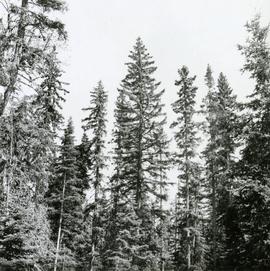
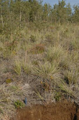
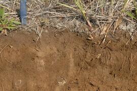
Caption describing photograph: "Comb like form of White Spruce - good form, slight upsweeping of branches with foliage pendant. Nursery Road, F.E.S. Aleza Lake. Similar to the "Comb Spruce" form of Sweden."
Fonds consists of documents providing information on the Columbia Cellulose Company, Limited covering the period of 1959-1970. These documents detail the company’s history, historical and geographical context, and plans for the future. Files often include photographs, maps, and technical drawings of the mills.
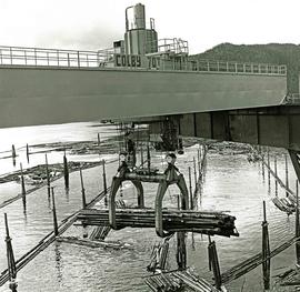
Columbia Cellulose Company, LimitedAttached description: The operator's cabin is visible behind the Colby 70-ton bridge crane grapples as it lifts a bundle of logs to the breakdown deck. In the background, a boomboat brings another bundle into position for pickup from the holding bay inside the pond formed by the dock.
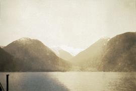
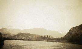
Photograph depicts a view from a water vessel looking toward an inlet and mountains near the shore.
Photograph depicts a dock on the left, water, low treed hills in the center of the photo and mountains in the distance.
Photograph depicts exposed asbestos fibre in talus.
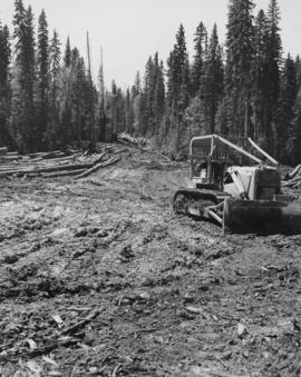
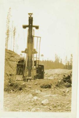
Photograph depicts the front end of a steam shovel in a cleared gravel area in front of a forested landscape. Handwritten annotation on verso of photograph reads: "Steam Shovel"
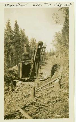
Photograph depicts a steam shovel operating in a ditch cut through a forested landscape. Handrwitten annotation on recto of photograph: "steam shovel sec. #3 July 15th"
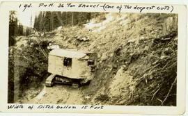
Photograph depicts a shovel digging a deepcut along in the hillside within a forested landscape. Handrwitten annotation on recto of photograph: "1 yd. P&H 36 ton shovel (one of the deepest cuts) with a ditch bottom 15ft.
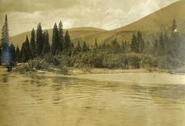
Photograph depicts a river, riverbank, forest and treed rolling hills.
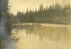
Photograph depicts a scow with several men in the center of a river.
Slide depicts a cleared area in a forest, likely at the Aleza Lake Experiment Station.
Slide depicts a cleared area at the Aleza Lake Experiment Station with plant regeneration.
Photograph shows a clearcut at or near Aleza Lake Research Forest in spring season.
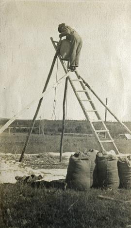
Photograph depicts a man standing on a high ladder pouring grain from a sack to a tarp below. Sacks of grain in the foreground, field and trees in the background.
Photographs are panoramas taken from the Churchill BC Forest Service Lookout, located at latitude 54°04' and longitude 122°16'. The photographs were bound together and include a transparent grid that was intended to be used for locating forest fires.
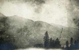
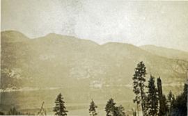
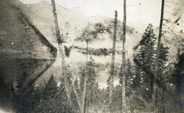
Photograph depicts a foreground of forest looking toward Christina lake with mountains in the background.
Photograph depicts a foreground of forest looking toward Christina lake with mountains in the background.
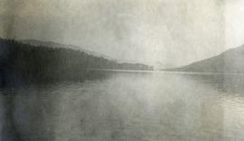
Photograph depicts the still waters of Christina Lake bordered by forest with mountains in the distance.
Photograph depicts a foreground of forest looking toward Christina lake with mountains in the background.
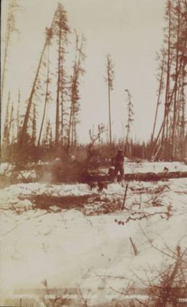
Photograph of a person chopping down firewood in a forest. Printed annotation on recto reads: "Chopping Fire-Wood, near Fort Simpson, 1118." Handwritten annotation on verso reads: "55 Avenell Road, N. 29-2-'08 I wanted to write you a letter, but have had suck a lot to do, I find there isn't time before Prayer meeting; and as I haven't been able to go to P.M. for the last three weeks, I am sure you won't mind just for this once. Here is a p.c. of Canada which I promised you; don't you think it is pretty? Things are going on pretty well now; mother is better & Daisy- well, I never saw SO much improvement in anyone in one short week. As much love as if this were the longest letter I have ever written you, from Effie." Postcard is addressed to: "Mis J.G. Grafton "Belmont" Tividale Road, Tipton, Staffs." Verso is affixed with a British halfpenny green stamp and canceled with a postmark that reads: "Highbury S.O. 915 PM Fe 29 08."
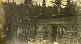
Photograph depicts six men standing outside a small log building. A sawhorse in the foreground, a tall pole "cache" and forest in the background.
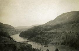
Photograph depicts a long spanned bridge crossing the Fraser River near Chimney Creek, BC.. Album notes state: "views of Chilcotin"
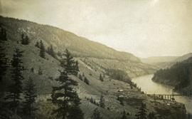
Photograph depicts a long spanned bridge crossing the Fraser River near Chimney Creek, BC.. Album notes state: "views of Chilcotin"
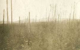
Photograph depicts standing trees that have been burnt, possibly after forest fire. Low hills can be seen in the background.
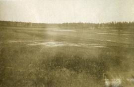
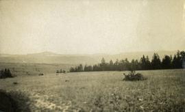
Photograph depicts open grassland with forest in the background.
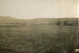
Photograph depicts open range land and treed low hills.
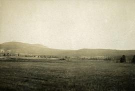
Photograph depicts open range land and treed low hills.
Photograph depicts open range land and treed low hills.
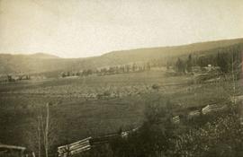
Photograph depicts open range land and treed low hills. There is a log fence in the foreground and roofs of buildings on the right.
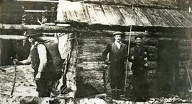
Photograph depicts three men standing in front of a log cabin. Two men hold fishing rods and each of these men hold a freshly caught fish. The third man stand to the side with a loaded back pack. Two men smoke pipes.
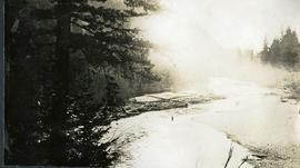
Photograph depicts a man wading waist deep in the river. Stones on the one shore, a log jam on the other shore, fog rolling over the stream in the distance.
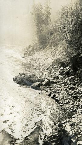
Photograph depicts a close up view of the Cheakamus river. Stones and brush line the river bank.
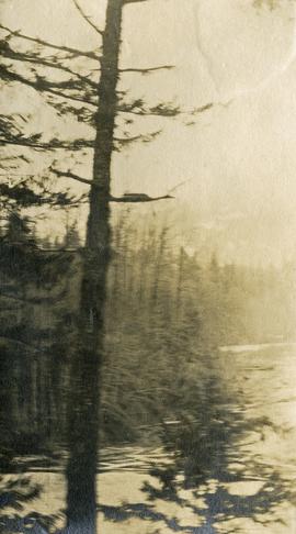
Photograph depicts a view from behind the trees, looking down on the river.
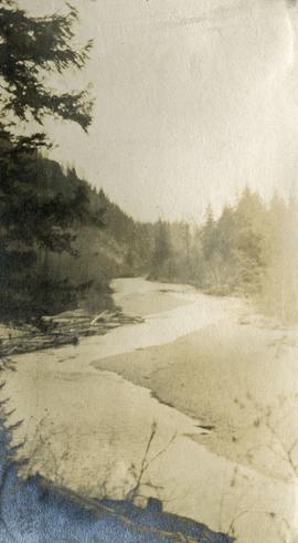
Photograph depicts a view of the Cheakamus river from a lofty perch.
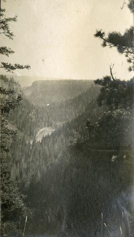
Photograph depicts a bird's eye view of a chasm and forested hills.
Photograph depicts a long line of 30 or more horses or mules and men. The horses appear to be tethered to a rope, some animals are wearing packs. Several men attend.
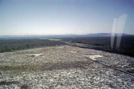
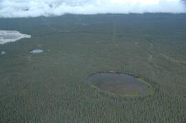
This image is part of the outbound sequence of aerial images obtained on the helicopter flight to the Klutlan Glacier study site. The sequence starts from the base camp at the White River crossing on the Alaska Highway and heads south, to a point just upvalley of the debris-covered terminus (approx. 10-15 km from Alaska border), and turning back north to the landing spot on the Generc River floodplain close to the study site (see Fig. 1 in paper).
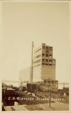
Photograph of a Canadian Grain elevator next to the railway in Prince Rupert, BC. Printed annotation on recto reads: "C.G. Elevator. Prince Rupert."
File consists of a licence and framed certificates and photographs for Harry Coates. File includes:
- Scaling Licence (1962)
- two certificates celebrating Harry Coates' 25 years of service with the Forest Service (1982)
- photograph of Harry Coates, [Ted or Jed?] Baker, and John Revel at Aleza Lake Research Forest Re-opening July 9, 1992.
- Photograph of Harry Coates and John Revel, identifying plaque reads "Buckhorn Lake E.P. 660".
Item is an aerial photograph of mill by a waterway.
Item is an aerial photograph of mill by a waterway.
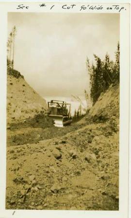
Photograph depicts a caterpillar tractor and a bulldozer working on a ditch cut through a forested landscape. Handwritten annotation on recto reads: "see #1 cut go wide on top". Handwritten annotation on verso reads: "caterpiller tractor and bulldozer working on ditch"
Fonds consists of textual, photographic, cartographic, electronic and promotional films/video recordings related to the mining operations of Cassiar Asbestos Mining Corporation (CAMC) and creation of Cassiar townsite. CAMC records primarily consist of records related to mining operations including construction, engineering, daily mining operations, administration of CAMC, tallies of extractions, labour and union activities, corporate events and visits by dignitaries. Townsite records are primarily visual representations of townsite construction, including the creation of health, education and community services including Cassiar's private hospital, school, library, as well as townsite images. Photographs include documentation of natural and man-made landscapes within the Cassiar region of Northern BC. Other holdings include a near complete run of Cassiar's community newspaper.
Cassiar Asbestos Corporation Ltd.Photographs depict aerial views of the Cassiar townsite, plantsite, tailings pile, mine road, bench and pit mine, mine buildings (tramline loading station, crusher, shop, and garage), and surrounding mountain range. Here "aerial" refers to photos depicting a large area and taken from the air or from a high point of elevation.
