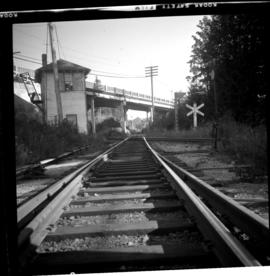
2013.6.36.1.033.17
·
Item
·
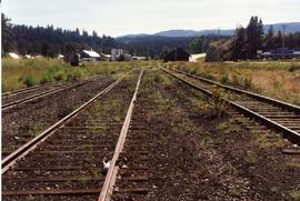
28 Aug. 1971
Part of David Davies Railway Collection
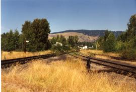
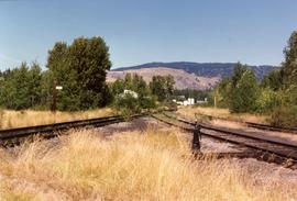
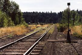
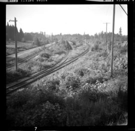
Photograph depicts the Ladysmith diamond crossing, looking north from the highway. Esquimalt & Nanaimo Railway is visible on the right and in the centre. On the left are the Comox Logging and Railway Company lines. Strings of disused log cars are on the centre tracks and are owned by CPR.