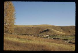
Image depicts an area of hill at Gang Ranch.
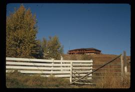
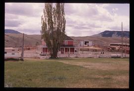
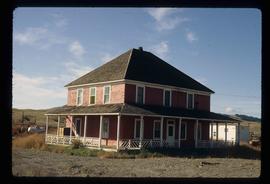
Image depicts the house of the owner of Gang Ranch.
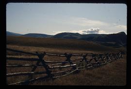
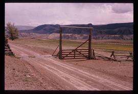
Image depicts a view of the property of the Gang Ranch.
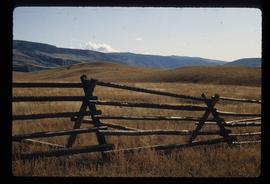
Image depicts a fence and the property of the Gang Ranch.
Image depicts the Gang Ranch House in the Upper Fraser Canyon.
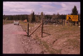
Image depicts Gang Ranch, with a sign warning that the area is patrolled by Range and Logging Patrols, in the Upper Fraser Canyon.
Image depicts the Upper Fraser Canyon from what appears to be the entrance to Gang Ranch.
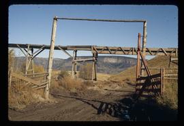
Image depicts a wooden structure at Gang Ranch. It is possibility an elevated water trough.
Image depicts the Gang Ranch house.
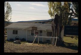
Image depicts the Gang Ranch office.
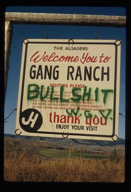
Image depicts the sign to Gang Ranch, located in the Upper Fraser Canyon, with graffiti on it.
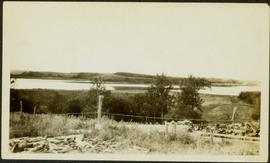
Photograph depicts a river or lake, and opposite shore in background. A garden can be seen behind fence in foreground.
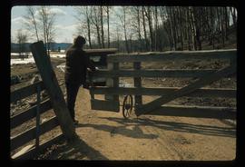
Image depicts an individual opening the gate at Nautley in Fort Fraser, B.C.
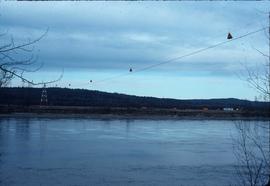
Image depicts a gauging station at Shelley, B.C.
Subseries consists of photographic material pertaining to the following subject areas: mine operations; plant operations;labour strike 1970s images; townsite operations of the company towns of Cassiar and Clinton Creek (including community activities associated therein and townsite development); as well as, images of mines not owned by Cassiar Asbestos Corporation, but which are believed to have been used for operational research purposes.
File includes six aggregations of photographs which have been assembled in this file in order to maintain the integrity of each group by keeping the photos arranged together, though each group features operations pertaining to multiple files in this subseries. Includes groups featuring photos from 1961, 1965 1971, a helicopter trip, a community album, and a workplace album. Photographs depict images pertaining to the following operations at Cassiar, B.C.: mining, milling, maintenance, labratory tests, and tramline and town operations. Images featuring operations of the company town include the grocery store, bank, churches, school, library, lounge, pool, theater, community center, outdoor recreation, hospital, dentist, cafeteria, bus route, residences, air strip, firehall, laundromat, park, police, and newspaper.
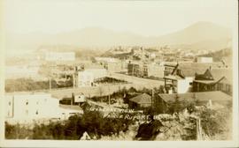
Slightly elevated view of an intersection surrounded by residential and business buildings in Prince Rupert BC. Printed annotation on recto reads: "General View Prince Rupert. B.C. W.W.W."
Photographs within this file document natural and artificial features across the landscape of Northern British Columbia. This landscape also includes the physical, built, urban and industrial landscapes; topography; site plans; boundaries, districts, reserves, parks, sanctuaries, towns, villages and cities, etc.
Subseries consists of materials collected by Kent Sedgwick for research on the geography and natural resources in Prince George and its region. Includes material on the natural resource industry, including the opening of the McArthur Sawmill, the W. Lamb and Sons Lumber Sawmill, and mining; photocopied aerial photographs of Prince George; the climate, temperatures, and flooding; and the geographical features of Prince George.
File contains slides depicting geomorhp diagrams.
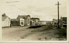
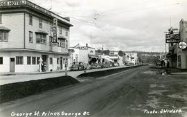
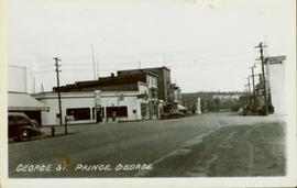
Photo depicts a street perspective of George St., in Prince George, BC, ca. 1950. Annotation recto reads: "George St. Prince George BC Photo by J Wrathall." Handwritten annotation in pen on verso of postcard reads: “This is the Hastings Street of Prince George. This & 3rd Streets are the main thoroughfares.”
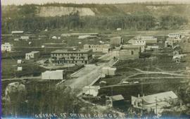
Printed annotation on recto reads: “George St. Prince George B.C.”, handwritten in pencil on verso reads: “CA. 1915”
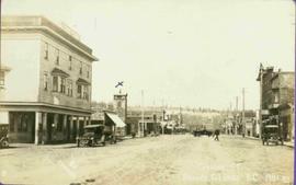
Photograph of George Street in Prince George B.C. Cars, people, and signage are visible. Printed annotation on recto reads: “George St. Prince George B.C. 1921 R7 by Moore” There is an “X” in ink over the fire hall. Handwritten annotation in ink on verso reads: “This view is also looking north and where I have put the X is the one and only fire hall and you can see the fire engine in the street. This is the main street.”
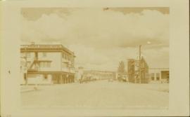
Street level photo of George Street in Prince George, Visible businesses include the "Prince George Hotel" and "Ford" dealership. Printed annotation on recto reads: "George St. Looking North Prince George, B.C. N&D."
Handwritten annotation on verso of photograph reads: "George St. Prince George BC Photo. S Wrathall". Prince George Hotel and Cafe stand on left side of street in foreground, and many other buildings and businesses can be seen. Vehicles line the street, cut banks visible in background. Photograph believed to have been taken while George Street was being prepared for a new lawyer of asphalt.
Street level photo of George Street in Prince George. Visible businesses include "B-A" and "Astoria Hotel." Printed annotation on recto reads: "George St. Prince George."
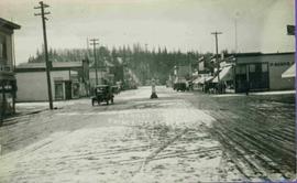
Photograph depicts buildings and vehicles lining street, and hill in background. There is snow on the road and several store signs are visible. Printed annotation on recto reads: “GEORGE ST. PRINCE GEORGE B.C.”
File contains slides depicting a hike near the Geraldine Lakes.
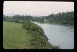
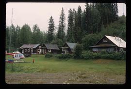
Image depicts the Germansen River, with the buildings of Germansen Landing visible on the other side.
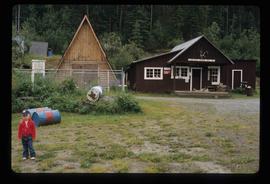
Image depicts a child in the foreground, and the Germansen Landing trading post in the background in Germansen Landing, B.C.
Image depicts a helicopter in Germansen Landing, B.C.
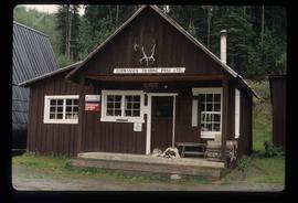
Image depicts the Germansen Landing Trading Post.
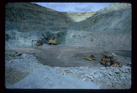
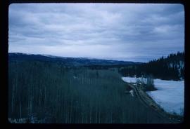
Image depicts the Gibraltar mine site north of Williams Lake, B.C.
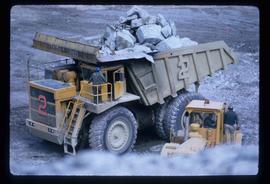
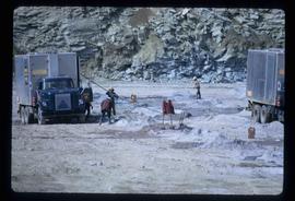
Image depicts an 80 tonne truck full of rocks at the Gibraltar mine site north of Williams Lake, B.C.
Image depicts a number of workers putting in blasting powder at the Gibraltar mine site north of Williams Lake, B.C.
Image depicts a loading truck at the Gibraltar mine site north of Williams Lake, B.C.
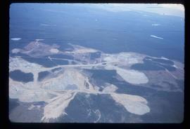
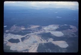
Image depicts an aerial view of the Gibraltar mine site's pits and waste dumps, north of Williams Lake, B.C.
Image depicts an aerial view of the Gibraltar mine site's pits and waste dumps, north of Williams Lake, B.C.
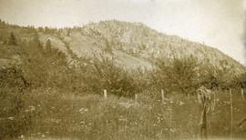
Photograph depicts a field and fence in the foreground, an orchard in the midground, a rocky mountain slope in the distance.
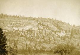
Photograph depicts a rocky, mountain slope.
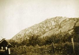
Photograph depicts a field and fence in the foreground, an orchard in the midground, a rocky mountain slope in the distance.
Image depicts the Ginter Property in Prince George, B.C.
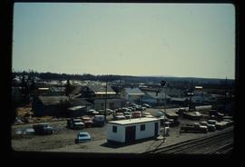
Image depicts the Giscome, B.C. town site with the Giscome railway station and the Giscome store in the center surrounded by vehicles. Map coordinates 54°04'18.5"N 122°21'57.7"W
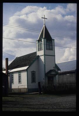
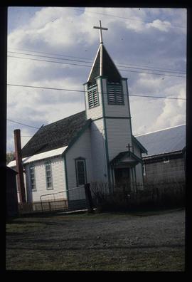
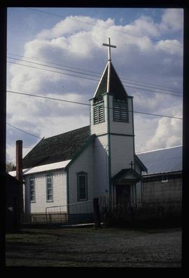
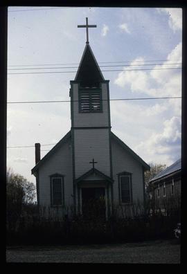
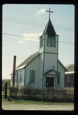
Image depicts a Catholic church in Giscome, B.C. Map coordinates 54°04'15.5"N 122°21'52.1"W
Image depicts a Catholic church in Giscome, B.C. Map coordinates 54°04'15.5"N 122°21'52.1"W
Image depicts a Catholic church in Giscome, B.C. Map coordinates 54°04'15.5"N 122°21'52.1"W
Image depicts a Catholic church in Giscome, B.C. Map coordinates 54°04'15.5"N 122°21'52.1"W
Image depicts a Catholic church in Giscome, B.C. Map coordinates 54°04'15.5"N 122°21'52.1"W
Image depicts the CN Station, with bundles of wood sitting near the tracks, in Giscome, B.C. Map coordinates 54°04'32.3"N 122°21'42.3"W
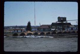
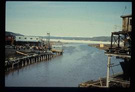
Image depicts mill site and dock in Giscome, B.C. with Eaglet Lake in the background covered in ice. There is a large crowd of people gathered near the dock. Map coordinates 54°04'34.9"N 122°21'50.0"W
