Showing 27994 results
Archival description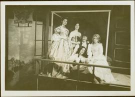
Actors in Ionasphere Theatre Group Production of Henry Fielding’s 'Tom Jones,' Prince Rupert, BC
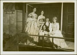
Actors in Ionasphere Theatre Group Production of Henry Fielding’s 'Tom Jones,' Prince Rupert, BC
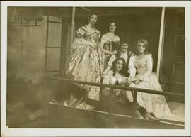
Actors in Ionasphere Theatre Group Production of Henry Fielding’s 'Tom Jones,' Prince Rupert, BC
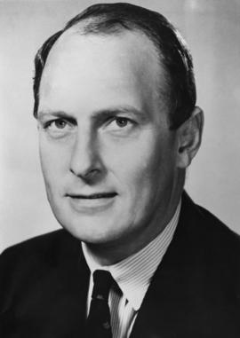
Adam Zimmerman fonds
Administration
Administration
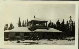
Administration Building, Teslin Lake, YT
Adulation (1) A
Adulation (1) A
Adulation B
Adulation B

Advance regeneration in logged cedar block in ICHwk3 subzone
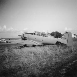
Advanced trainer "North Amercan (Aviation Co.) Texan"
Aerial A
Aerial A
Aerial B
Aerial B
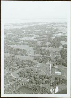
Aerial of Georges Farm
Aerial of Georges Farm
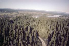
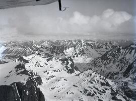
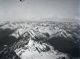
Aerial photograph of Aleza Lake Research Forest
Aerial photograph of Aleza Lake Research Forest
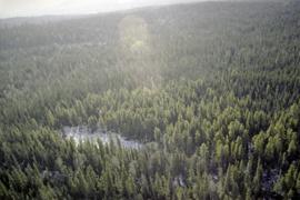
Aerial photograph of Aleza Lake Research Forest
Aerial photograph of Aleza Lake Research Forest
Aerial photograph of Aleza Lake Research Forest
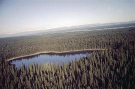
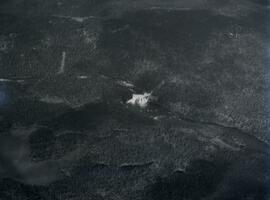
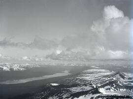
Aerial photograph of lakes and mountains
Aerial photograph of Scout Island Nature Centre, Williams Lake
Aerial photograph of Scout Island Nature Centre, Williams Lake
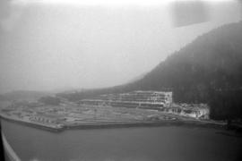
Aerial photograph of the Northwood Pulp Mill site in Prince George
Aerial photograph of the Northwood Pulp Mill site in Prince George

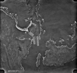
Aerial photograph of West Coast Trail at Carmanah Lighthouse

Aerial photograph of West Coast Trail at Nitinat Narrows

Aerial photograph of West Coast Trail at Tsusiat Falls

Aerial photograph of West Coast Trail at Tsusiat Falls

Aerial photograph of West Coast Trail at Tsusiat Point Hole in the Wall
Aerial photographs of rural Prince George
Aerial photographs of rural Prince George
Aerial Photos from 1994 of Aleza Lake Research Forest
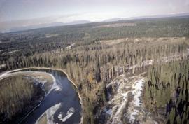
Aerial view from Sustut River toward Thutade Lake
Aerial view from Sustut River toward Thutade Lake
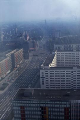
Aerial view of a city in East Germany
Aerial view of an unknown community overseas, hills visible in distance
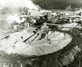
Aerial view of chip distribution system
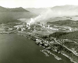
Aerial view of Columbia Cellulose Sulphite mill and Skeena Kraft mill
Aerial view of Dagenham looking south
Aerial view of Dagenham looking south
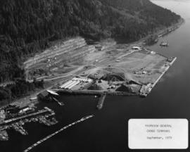
Aerial view of Fairview general cargo terminal
Aerial view of Finlay Falls below Thutade Lake

Aerial view of forest
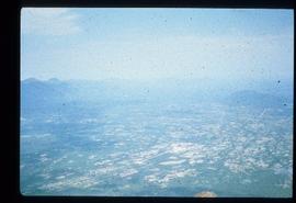
Aerial view of forest and farms
Aerial view of Haida Gwaii shoreline
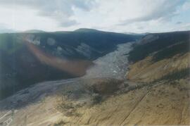
Aerial view of Inlin Brook landslide
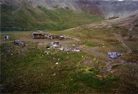
Aerial view of Kutcho Creek exploration camp
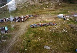
Aerial view of Kutcho Creek exploration camp

Aerial View of Land
Aerial view of Nass Valley lava beds
Aerial view of north half of Thutade Lake from the narrows

Aerial View of Prince George, BC, 1936
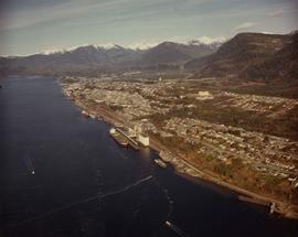
Aerial view of Prince Rupert
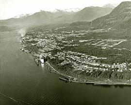
Aerial view of Prince Rupert
Aerial view of Prince Rupert Fairview Cargo Terminal