2009.6.1.302
·
Item
·
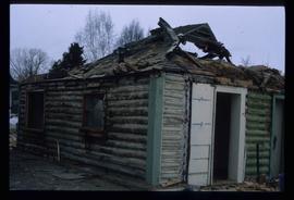
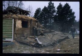
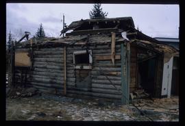
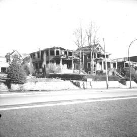
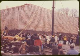
[ca. 1978]
Part of The Honourable Iona Campagnolo fonds
Handwritten annotation accompanying photograph reads: “Nisgaa Pole raising, Tait, Aiyansh”.