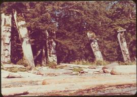
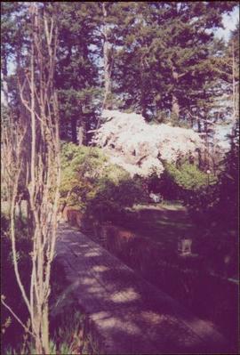
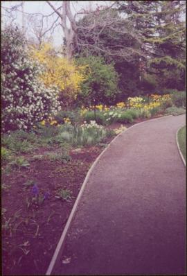
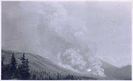
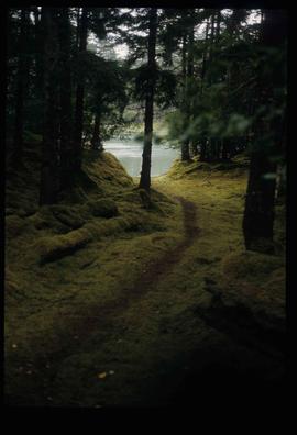
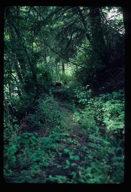
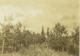
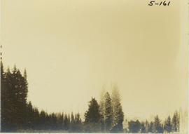
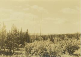
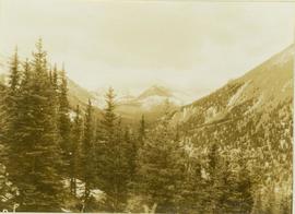
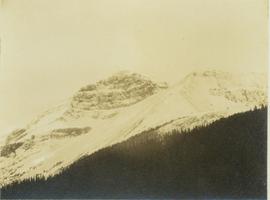
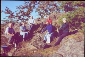
Photograph is one of 13 images printed from digital format on a CD-R featuring members of a group referred to as 'Terracites' (see item 2009.6.1.697) pictured in the gardens; see also items 2009.6.1.698 - 2009.6.1.710.
Forest in background, wooden logs lie in foreground.
Image depicts five unknown individuals somewhere near Mt. Robson.
Image depicts some power lines and a forest somewhere near Birken, B.C.
Image depicts numerous tree logs floating on a body of water. The location is uncertain, but is likely Eaglet Lake.
Image depicts a flooded area with an old sawdust pile in the background. Likely near McGregor, B.C.
Photograph depicts lane in front of tent buildings flooded with water, forest trees in background. Photograph taken from canoe, portion of canoe visible in foreground. It is believed that this photograph may depict the Island Cache in flood, at Prince George, BC.
Photograph depicts lane in front of tent buildings flooded with water. Tree in midground, forest trees in background. A man can be seen between first and second row of tent buildings. Photograph taken from canoe, portion of canoe visible in right foreground. It is believed that this photograph may depict the Island Cache in flood, at Prince George, BC.
Handwritten annotation on verso reads: "Nass River canyon at flood water". A building is visible on shore in distance, and mountains can be seen in background.
Photograph taken at Government House in Victoria, B.C.
Image depicts the Flying U Ranch at 70 Mile House, B.C.
Image depicts the foot of Indianpoint Lake.
Image depicts a camp at the foot of Isaac Lake.
Image depicts a narrow footbridge suspended over a river at an uncertain location.
Image depicts what appears to be a footbridge at an uncertain location.
Image depicts an esker at the Foothills Boulevard in Prince George, B.C.
Image depicts the Foothills Bridge over the Nechako river on the Foothills Boulevard in Prince George, B.C. Map coordinates 53°56'52.5"N 122°48'59.9"W
Photograph collection of various foothills around Cassiar.
Photograph depicts an unidentified guide lying in the snow on top of a mountain peak searching for game through a pair of binoculars. In the foreground footprints in the snow are visible while the background features a snow-covered mountain range.
Image depicts a forest, possibly somewhere near Woodpecker, B.C.
Image depicts a few unknown individuals walking through the forest at Cheslatta.
Image depicts a forest somewhere on Haida Gwaii.
Image depicts a forest, possibly somewhere near Woodpecker, B.C.
Image depicts a view of the forest in the Fort George Canyon Provincial Park, B.C.
Photograph depicts a forest along the edge of the striated and deeply cut banks of an unseen river at the base of the banks.
Item is a photograph of a forested area with a partially frozen river, exact location unknown.
Image depicts a view of a forest and river somewhere along the White Pass railway. The thin line in the mountain side is possibly a highway.
Photograph depicts an unidentified forest fire site with an area of dense shrubbery in the foreground.
Image depicts a group of trees in the Cottonwood Park, with a sign which reads: "This is the primary plantation for the 'Forest for the World' project. These trees were planted on August 5, 1985, commemorating Prince George's 70th birthday by the citizens of Prince George & Expo 86'."
Item is a photograph of a forested area southwest of Chittagong, Bangladesh close to the border with Burma.
Image depicts a forested area located somewhere near the Tseax Lava Flow.
Image depicts a forested mountain side somewhere near Murray Ridge.
Slide depicts a heavily forested area with fallen logs, likely at the Aleza Lake Experiment Station.
Image depicts a trail through the forest somewhere on Haida Gwaii.
Image depicts a trail through the forest somewhere in or near Seton Portage, B.C.
Photograph depicts a forested landscape with leafy trees and bushes in the foreground.
Photograph depicts the tops of trees in a forested landscape.
Photograph depicts an unidentified forested landscape with leafy bushes in the foreground.
Photograph depicts a forest in the foreground with a tree covered valley in the midground. In the background of the image a snow-covered mountain peak is visible.
Image depicts a forested mountain side somewhere along the White Pass railway. The thin ridge along the mountain side is possibly either a highway or part of the railway.
Photograph depicts a forested mountain slope leading up to a snow-covered peak.
Image depicts a view of a forested, mountainous area and a river, somewhere along the White Pass railway. The slide is labelled "begin climb," suggesting the image was taken at the beginning of the White Pass Train's ascent into the mountains.
Image depicts a view of a forested valley in the mountains somewhere along the White Pass railway.