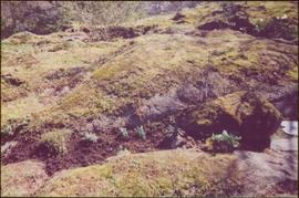
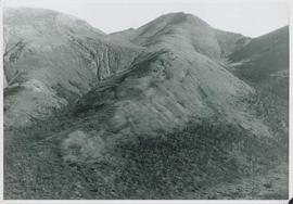
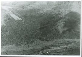
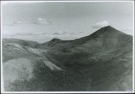
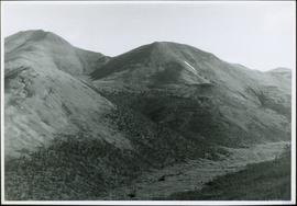
The item is a photograph slide reproduction depicting the raised floodwaters on the Nechako River.
Photograph taken at Government House in Victoria, B.C.
The item is a photograph of white and pink flowers in a garden or field, believed to be on 3rd Avenue in Prince George.
Photograph depicts a line of wooden piles that have been driven into the ground and lead through a forested landscape. Handwritten annotation on verso of photograph: "part of flume construction piles driven down to refusal".
Photograph depicts a flume crossing over a creak near the centre of Keremeos, close to the Penticton highway.
Photograph depicts a wooden flume being constructed along a hillside through a forest landscape. Handrwitten annotation on recto of photograph: "Flume over pile trestle, sec. #1, 8ft. wide"
Carved wooden flute. Stamped annotation on verso reads: “Department of Mines and Resources, Photographic Section. Oct. 6, 1939”. Numeric annotation on verso: “33-6”
Typed annotation on recto: "Rainbow Trout fishing (Fly fishing) Tachi River - Stuart Lake, B.C." Two men fishing in a canoe with rope tied to another object, and one fish caught in net. Trees on shore in background.
Image depicts the Flying U Ranch at 70 Mile House, B.C.
Photograph taken at the main main fire station on the site of the former RCAF station near the Vancouver Airport. Visible is foam pumper #2, operated by the Federal Department of Tranpsort, as well as a Sicard truck.
Photograph depicts a view of fog over the Fraser River in the Lillooet area.
Photograph depicts a man standing to the left of a CF-ABK float plane and a Fokker AAM float plane resting on the water on Takla Landing.
Photograph depicts the folding steel stern door of the S.S. Canora C.N.R. ferry to Vancouver Island. The door is raised and lowered by a 2 cylinder steam winch.
The item is a photograph reproduction depicting the community of Foley's Cache from on top of a hill.
The item is a photographic reprint from 1913 depicting houses in the Foley's Cache area.
The item is a photograph reproduction depicting the community of Foley's Cache from on top of a hill.
The item is a photograph reproduction of the Foley's Cache docks from 1913.
The item is a photograph reproduction depicting the hospital at Foley's Cache.
The item is a photograph depicting the plaque containing information on the history of Foley's Cache.
The item is a photograph depicting an plaque with information about the history of Foley's Cache.
File consists of notes and reproductions relating to Foley's Cache (later Island Cache and now Cottonwood Island Nature Park) in Prince George. Includes: "Foley's Cache" typed document by Kent Sedgwick (2 Feb. 1996). Includes photographs depicting a sign describing Foley's Cache and historical photographs of Foley's Cache.
The item is a photograph reproduction depicting men logging alongside the river at Foley's Cache.
The item is a photograph reproduction depicting a group of men logging alongside the river at Foley's Cache.
The item is a photograph depicting foliage on the street corner across 1414 Ash Street, Prince George, BC.
Image depicts the foot of Indianpoint Lake.
Image depicts a camp at the foot of Isaac Lake.
Image depicts a narrow footbridge suspended over a river at an uncertain location.
Image depicts what appears to be a footbridge at an uncertain location.
Photograph depicts range of hills, clouds in background.
Photograph depicts hill, trees in foreground.
Photograph depicts range of hills, trees at base.
Photograph depicts range of hills, trees in valley.
Photograph depicts range of hills. Trees in valley, clouds in background.
Photograph depicts range of hills, trees in valleys.
Photograph depicts hill, trees in foreground.
Image depicts an esker at the Foothills Boulevard in Prince George, B.C.
Image depicts the Foothills Bridge over the Nechako river on the Foothills Boulevard in Prince George, B.C. Map coordinates 53°56'52.5"N 122°48'59.9"W
Photograph collection of various foothills around Cassiar.
Handwritten annotation on recto of photograph: "FORMING FOOTING FOR TRANSFORMER HOUSE AUG 20/64." Photograph depicts construction workers standing in forms made of wood and rebar for cement footings. Lumber scattered throughout, mountain range in background.
Photograph depicts an unidentified guide lying in the snow on top of a mountain peak searching for game through a pair of binoculars. In the foreground footprints in the snow are visible while the background features a snow-covered mountain range.