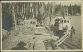
Photograph depicts men on river boat and small canoe floating just off shore. Men sit and stand on shore among square bales and large cut lumber. Forest in background. Handwritten annotations on recto of photograph: "Fort Fraser wooding up at Giscome Portage", "Chilco at Giscome Portage".
Series consists of records pertaining to Harry Coates work and training as a BC Forest Service Research Technician. Series includes documentation for various Sx trials and experimental plots (E.P.) Harry Coates worked on.
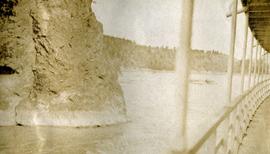
Photograph depicts a view of the rocky shores of Fort George Canyon from the deck of a steamship.
Photograph depicts a view of the swirling waters of Fort George Canyon from the deck of a steamship.
Photograph depicts a view of Fort George Canyon.
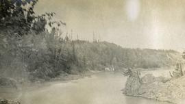
Photograph depicts a view of Fort George Canyon from the shore. A steamship is in the centre of the river.
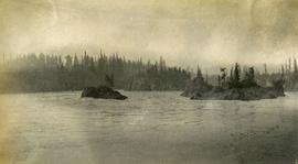
Photograph depicts misty waters and small islands in the river.
Photograph depicts Fort George Canyon from a lofty view. A small building is situated on the river's edge.
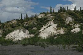
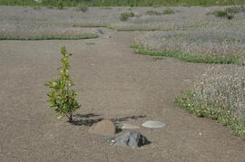
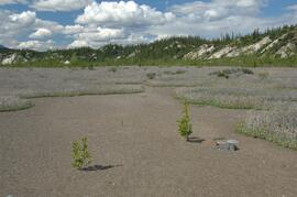
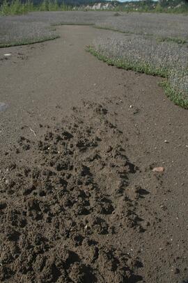
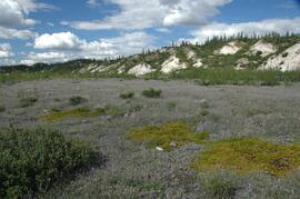
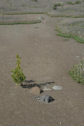
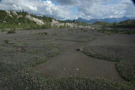
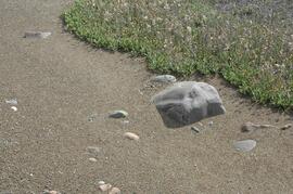
In July 2009, Dr. Paul Sanborn undertook the first soils field research at the Fort Selkirk volcanic field in central Yukon, with helicopter support and funding from the Yukon Geological Survey. This file includes digital photographs of the 2009 field work at the Ft. Selkirk site. Some of the digital photographs have been annotated as PDFs.
- Ft Selkirk 110114069.xls [particle size analysis data, CANTEST]
- S1090final.xlsx [chemical analysis data, Ministry of Forests & Range, Analytical Chemistry Laboratory]
- S1112final.xlsx [chemical analysis data, Ministry of Forests & Range, Analytical Chemistry Laboratory]
- Ft Selkirk 2009 soils data (updated Sept 15, 2010 and April 10, 2023).xls [consolidated lab data for all 2009 samples]
For July 1-7, 2009, Dr. Paul Sanborn did the first soils field research at the Fort Selkirk volcanic field in central Yukon, with helicopter support and funding from the Yukon Geological Survey.
Initial findings were published in the 2009 edition of Yukon Exploration and Geology, but this paper did not include most of the laboratory data:
Sanborn, P., 2010. Soil reconnaissance of the Fort Selkirk volcanic field, Yukon (115I/13 and 14). In: Yukon Exploration and Geology 2009, K.E. MacFarlane, L.H. Weston and L.R. Blackburn (eds.), Yukon Geological Survey, Whitehorse, Yukon. pp. 293-304. https://emrlibrary.gov.yk.ca/ygs/yeg/2009/2009_p293-304.pdf [Note that in Fig. 1, the labels for Camp 1 and Camp 2 on map are transposed; Camp 1 should be to the east of Camp 2.]
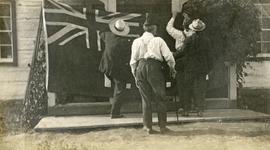
Photograph depicts four men pinning a "Union Jack" flag to the exterior of a building.
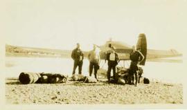
Photograph depicts four men standing in front of a float plane on the shore of a lake surrounded by their bags. Annotation on verso of photograph reads: "Leaving Stuart Lake by plane, Left to right: Mason, Keith, Ferguson, MacMillan (Pilot)"
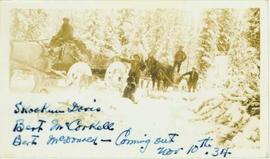
Photograph depicts four men posed within or beside two horse drawn carriages in a winter forest landscape. Annotation on recto of photograph reads: "Skookum Davis (?) Bert McCorkell, Bert McDonald - Coming out Nov. 10th, 1934"
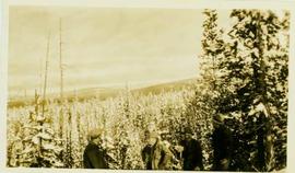
Photograph depicts four unidentified men standing together on a hillside with a winter forest landscape in the distance. Handwritten annotation on verso of photograph reads: "Snow scene on trail".
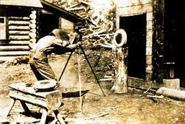
Item is a photograph of a copy print that has been reproduced as a slide, resulting in low photographic quality. Location of original photograph unknown.
Frank Dickson was a UBC pathologist who studied heart rot in balsam at Aleza Lake Experimental Station (and also gave great haircuts).
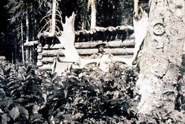
Item is a photograph of a copy print that has been reproduced as a slide, resulting in low photographic quality. Location of original photograph unknown.
Frank Dickson was a UBC pathologist who studied heart rot in balsam at Aleza Lake Experimental Station (and also gave great haircuts).
Item is a photograph of a copy print that has been reproduced as a slide, resulting in low photographic quality. Location of original photograph unknown.
Frank Dickson was a UBC pathologist who studied heart rot in balsam at Aleza Lake Experimental Station (and also gave great haircuts).
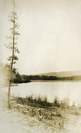
Photograph depicts roughly cleared land in the foreground, a lake and rolling forested hills in the background.
Photograph depicts the lake from the water's edge. Low forested hills in the background.
Photograph depicts view from behind the ferryman and ship's wheel. Fraser Lake and treed hills in the background.
Photograph depicts a view of the Fraser Lake ferry house from a distance.
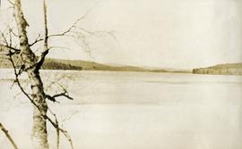
Photograph depicts a lake. Photograph is framed by a deciduous tree on the left. Forest and rolling hills in the background.
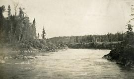
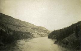
Photograph depicts a view of the Fraser River bordered by sparsely treed hills. Album notes: "views of Chilcotin".
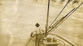
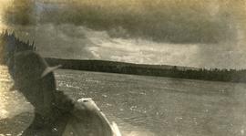
Photograph depicts view of the river from a boat. There is a silhouette of a person wearing a hat in the foreground.
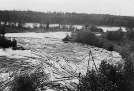
Photograph depicts a Fraser River backchannel with logs at Peden Hill sawmill. The jackladder to the sawmill is visible on the bottom right.
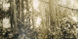
Photograph depicts lush forest growth, a tent or tarp is set up on the left of the photo.
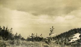
Photograph depicts view from a high mountain ridge. There is a river valley and clouds in the distance.
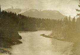
Photograph depicts a large river from a bird's eye view, forest and rocks on the water's edge, snow capped mountains in the background.
The Fred Jeffery Collection consists of three photograph albums comprising a total of 303 b&w photographs all dating from ca.1924-1933. The subject matter of these images consist primarily of the fishing industry, river & landscapes, salmon cannery images (housing, people, workers, machinery, boats) on the Nass River and North Pacific Coast. Notable are the photographs depicting indigenous (Nisga'a) people and places and Chinese and Japanese cannery workers. Identified canneries featured in these photographs include: Mill Bay Cannery, Namu Cannery, Klemtu Cannery, Shushartie Bay Cannery, Balmoral Cannery, North Pacific Cannery, Nass Harbour Cannery, Port Essington Cannery, Kitwanga Cannery, Port Nelson Cannery, Alert Bay Cannery, Dominion Cannery and ABC Co. Cannery. Photographs also include images of the Canadian Pacific Railway in both Vancouver and Sicamous, BC., as well as, images of the Legislative Assembly buildings in Victoria, the 1924 Special Service Squadron ships in Vancouver, early construction of the University of British Columbia in Vancouver, and town overviews of Yokohama, Japan (pre WWII).
Jeffery, FredPhotograph depicts two men standing to left of Fred Murray on balcony of large building or structure speculated to be in the Cassiar valley. Portion of log structure in left foreground, man and hauling trucks on road in background.
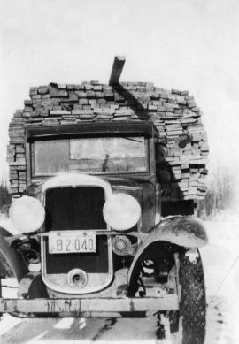
Photograph depicts a freight truck carrying timber at Peden Hill Sawmill.
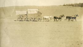
Photograph depicts 2 large covered wagons pulled by a team of six horses, dry vegetation in the foreground & background.
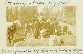
Photograph depicts four men and five sled dogs standing beside a horse-drawn wagon loaded with dog sleds with a forested landscape in the background.
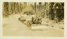
Photograph depicts a bulldozer convoy pulling empty flats through a forested landscape.
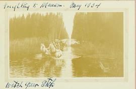
Photograph depicts two men driving a loaded two horse driven wagon as it traverses through a river that runs through a forest landscape.
Photograph depicts two men preparing to load a canoe on a wagon. Two blanketed horses stand nearby with one person attending. There is a lake in the background, wild grasses and brush in the foreground.
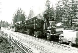
Item is a picture of a filly loaded logging truck with two trailers stopped on a dirt road. A van from "Commins Diesel Vancouver Island Ltd. Nanaimo" is parked in front of the truck.
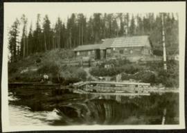
Photograph depicts two log buildings in fenced area on lake shore, forest trees in background. A man can be seen standing near docking area and small boat pier extending into water in foreground. Handwritten annotation on recto of photograph: "Fur Farm Red Rock Lake". This location is believed to at mile 27, north of Summit Lake.
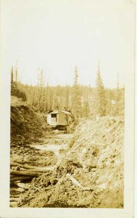
Photograph depicts a gas (?) shovel digging a ditchline through a forested area.
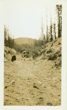
Photograph depicts a gas (?) shovel digging out a ditchline through a forested landscape.
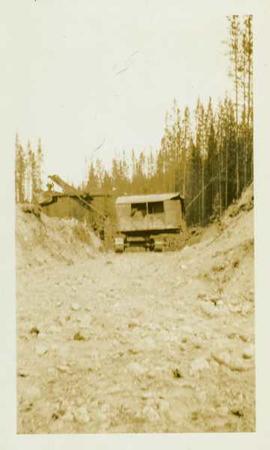
Photograph depicts a gas shovel located in a large ditch amidst a forested landscape.
