2009.10.1.54
·
Item
·
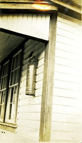
1928
Part of Fred Jeffery Photograph Collection
Photograph depicts a bird perched on a nest build on the side of a building. Handwritten annotation below photograph reads, "Robins nest June 1928-N.H."