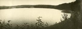
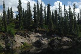
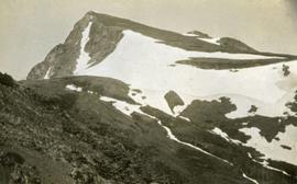
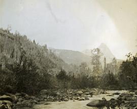
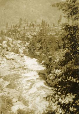
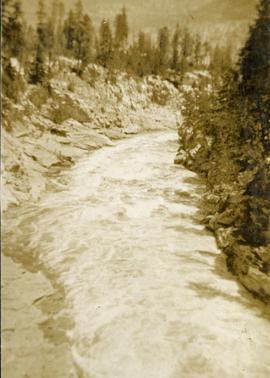
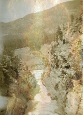
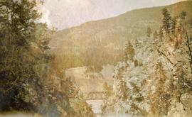
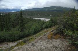
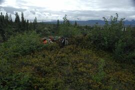
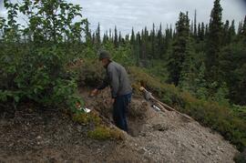
Photograph depicts one man standing on the bank of a river, forest in the background. The image is not in focus or possibly a double exposure.
Image depicts the Lakeland Sawmill in Prince George, B.C, identified by the beehive burners; the one with white smoke belonged to Pas Lumber Co. which was bought out by Lakeland in 1987.
Image depicts the Lakeland Sawmill in Prince George, B.C.
Photograph depicts a small inland lake, trees and low hills border the lake.
This image is part of the outbound sequence of aerial images obtained on the helicopter flight to the Klutlan Glacier study site. The sequence starts from the base camp at the White River crossing on the Alaska Highway and heads south, to a point just upvalley of the debris-covered terminus (approx. 10-15 km from Alaska border), and turning back north to the landing spot on the Generc River floodplain close to the study site (see Fig. 1 in paper).
With the assistance of the Yukon Geological Survey, Dr. Paul Sanborn was able to visit the terminus of the Klutlan Glacier, a major outlet glacier which originates in the Alaska portion of the St. Elias Mountains. The stagnant terminus has a thick cover of debris, including a large component of White River tephra, providing enough soil material to support a boreal forest. Field work occurred on July 8, 2007, and results were published as:
Sanborn, P. 2010. Soil formation on supraglacial tephra deposits, Klutlan Glacier, Yukon Territory. Canadian Journal of Soil Science 90: 611-618. https://doi.org/10.4141/cjss10042
Photograph depicts view of Kitseucla mountain summit with snow patches and a rocky peak.
Photograph depicts Kitseucla creek, trees and a mountain peak in the distance.
Photograph depicts Kettle River canyon near Cascade, BC.
Photograph depicts a lofty view of the Kettle river near Cascade, BC.
Photograph depicts looking down on a canyon, steep cliffs on either side, a traffic bridge crosses the chasm. Near Cascade BC.
Photograph depicts a view of the Kettle River canyon and traffic bridge.