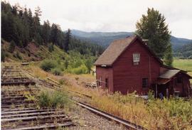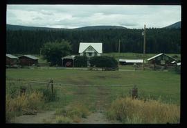
2013.6.36.1.149.13
·
Item
·
10 Aug. 1991
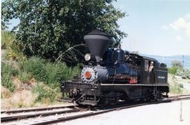
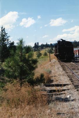
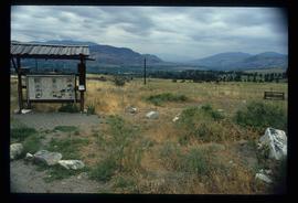
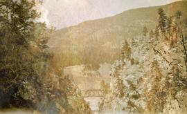
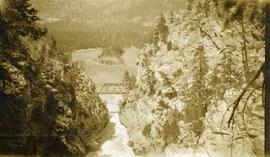
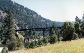
Part of David Davies Railway Collection
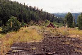
Photograph depicts the KVR station in Kingsvale. Had a siding or spur that held 24 cars. Back in 1973, it had a waiting shack and water tower.