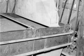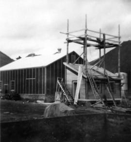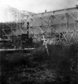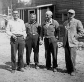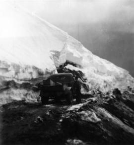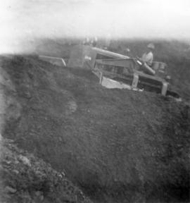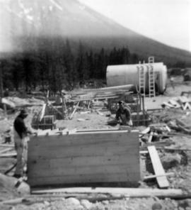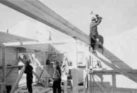
2000.1.1.2.1.309
·
Item
·
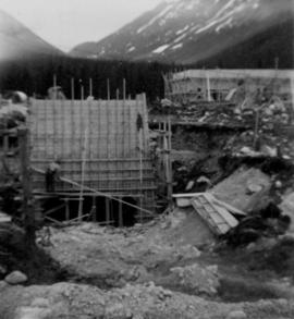
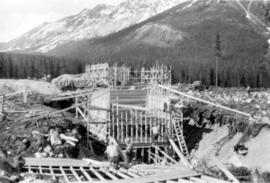
March 1952
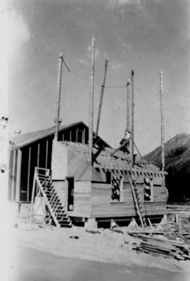
Part of Cassiar Asbestos Corporation Ltd. fonds
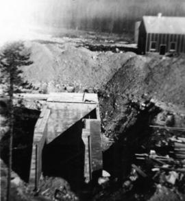
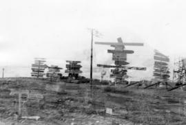
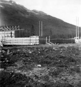
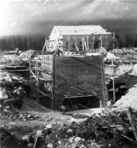
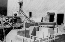
Handwritten annotation in blue ink on recto of photograph: "Warehouse in construction." Photograph depicts two men working in warehouse interior, and one man sitting on top of wall with sledge hammer raised. Miscellaneous building tools and supplies throughout.