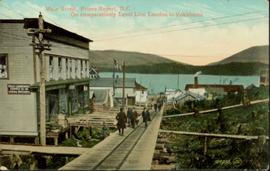
Hand coloured photo of Main Street in Prince Rupert, with various tents and buildings on either side of the wooden road. Printed annotation on recto reads: "Main Street, Prince Rupert, B.C. : On comparatively Level Line London to Yokohama." Artist's mark on lower right corner reads: "104,035 J.V."
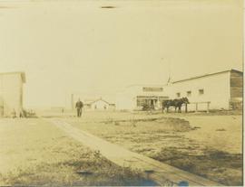
Photograph depicts the main street of Rolla with a dirt street and wooden sidewalks, tethered horses, and the storefront of H.G. Atkinson General Merchants. Three people are visible walking through the streets.
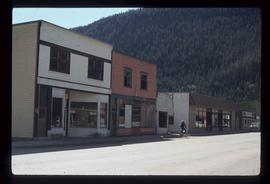
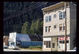
Image depicts several buildings along the main street in Stewart, B.C. One of them has been boarded up.
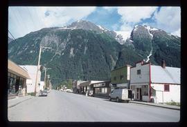
Image depicts the main street of Stewart, B.C.
Image depicts several buildings along the main street in Stewart, B.C.
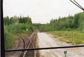
Photograph taken in front of the 'main line' that led to a pulp mill and river crossing. To the left was a lesser used connector to the CN main line. Behind the camera was a 4-track interchange yard. Beyond that, the CN line to Alberta could be found.
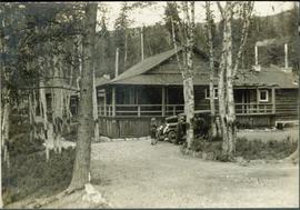
Typed annotation on recto: "Main building of Douglas Lodge, Stuart Lake, B.C." Men and a woman stand beside an automobile parked outside the main building.
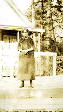
Photograph depicts an indigenous woman standing in front of a house, hands clasped, wearing a dress and boots. Handwritten annotation below photograph reads, "Princess Maggie".
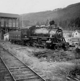
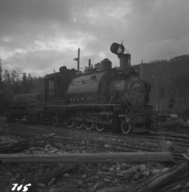
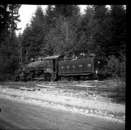
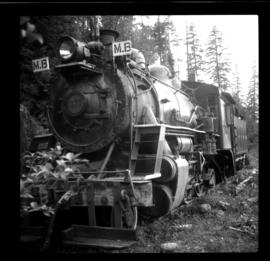
Photograph depicts the M.B. & P.R. Logging Railway Nanaimo River division, which is the only railroad left in the company. The photo depicts locomotive #1077 at the Nanaimo River Camp, 16 miles west of Ladysmith. It is a 2-6-2 tank locomotive built by the Montreal Locomotive Company in December 1923.
Photograph depicts MacMillan, Bloedel, & Powell River Ltd. 90 ton saddle tank #1055, Baldwin built 1928 (max 40 cars). It is located at the Nanaimo River yards.
Photograph depicts locomotive #1077 built by Montreal Locomotive Works in 1923. It was the road engine for log traffic to Ladysmith and had been left on a spur, isolated by three breaks in the tracks. It had been out of service, as had all MacMillan Bloedel traffic, for at least 12 months.
Photograph depicts a stand-by locomotive to the daily log train that went from this point to Ladysmith on a private logging railway.
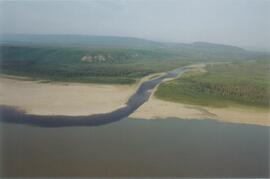
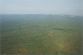
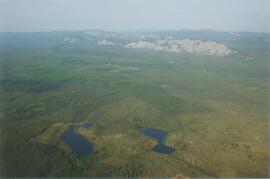
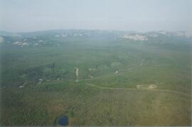
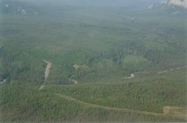
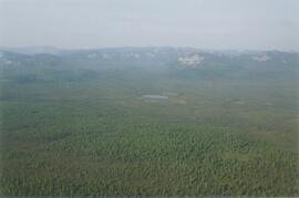
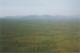
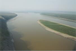
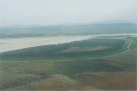
Photograph depicts the Mackenzie Valley and the Franklin Mountains.
Photograph depicts the Mackenzie Valley and the Franklin Mountains.
Photograph depicts the Mackenzie Valley and the Franklin Mountains.
Photograph depicts the Mackenzie Valley and the Franklin Mountains. Pipeline is visible.
Photograph depicts the Mackenzie Valley and the Franklin Mountains. Pipeline is visible.
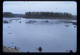
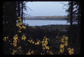
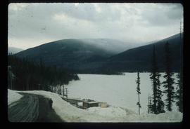
Image depicts the Mackenzie Reservoir in Mackenzie, B.C.
Image depicts the Mackenzie Reservoir in Mackenzie, B.C.
The eastern flank of the Mackenzie Mountains has a complex history of multiple glaciations by both the Laurentide and Cordilleran ice sheets, recorded in thick sequences of glacial sediments that were documented at 3 locations (Katherine Creek, Little Bear River, Inlin Brook) by:
Duk-Rodkin, A., R.W. Barendregt, C. Tarnocai, and F.M. Phillips. 1996. Late Tertiary to late Quaternary record in the Mackenzie Mountains, Northwest Territories, Canada: stratigraphy, paleosols, paleomagnetism, and chlorine-36. Canadian Journal of Earth Sciences 33 (6): 875-895. https://doi.org/10.1139/e96-066
Of the 3 sites, the exposure on Inlin Brook, a tributary of the Keele River, was the least well-documented, so in summer 2004 Dr. Paul Sanborn joined a field party of the Geological Survey of Canada (GSC) based at Tulita, NWT, and was given helicopter support to visit Inlin Brook (August 5-8). A brief visit was also made to the Little Bear River site.
On August 9-10, Sanborn joined Alejandra Duk-Rodkin (GSC) and Rene Barendregt (U Lethbridge) in helicopter-assisted field work at sites in the Franklin Mountains and elsewhere east of the Mackenzie River.
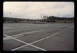
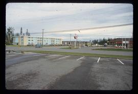
Image depicts numerous vehicles in the parking lot of a mall in Mackenzie, B.C.
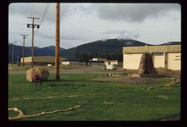
Image depicts the Mackenzie Curling Rink.
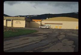
Image depicts a small section of Mackenzie, with the Mackenzie Curling Rink visible on the right side of the image.
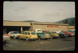
Image depicts numerous vehicles parked outside a building with a sign which reads "Mackenzie Centre;" it is possibly the mall in Mackenzie, B.C.
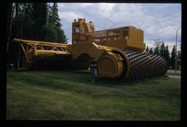
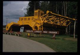
Image depicts an individual standing next to the world's largest tree crusher in Mackenzie, B.C.
Image depicts the world's largest tree crusher in Mackenzie, B.C.
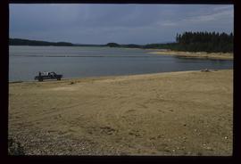
Image depicts a truck parked on a beach in Mackenzie, B.C.
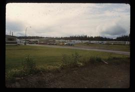
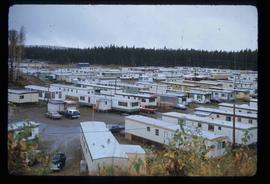
Image depicts a trailer park somewhere in Mackenzie, B.C.
Image depicts a trailer park in Mackenzie, B.C.
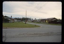
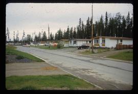
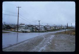
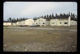
Image depicts a row of houses in Mackenzie, B.C.
Image depicts a row of houses in Mackenzie, B.C.
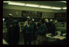
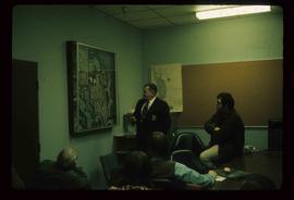
Image depicts numerous individuals wearing hard hats in what appears to be a computer room somewhere in Mackenzie, B.C.
Image depicts the frozen Morfee Lake just to the East of Mackenzie, B.C. The slide is also labelled "sub-boreal," referencing that it is a sub-boreal spruce zone.
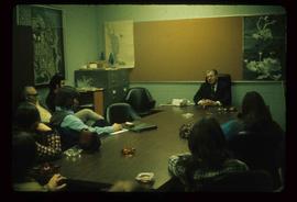
Image depicts numerous individuals examining a map as they are seated around a table. The location of the meeting is somewhere in Mackenzie, B.C.
Image depicts numerous individuals seated around a table and apparently having a meeting at an uncertain location in Mackenzie, B.C.
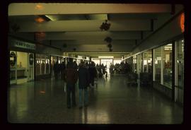
Image depicts numerous individuals inside a mall in Mackenzie, B.C.
Image depicts a row of houses in Mackenzie, B.C.
Image depicts several apartment buildings and the sign for a Gulf Gas Station in Mackenzie, B.C.
Image depicts numerous condominiums somewhere in Mackenzie, B.C.
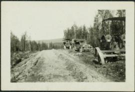
Photograph depicts a car, bulldozer, and tractor speculated to be involved in road construction. Rough dirt road runs left of machinery, forest and hills in background.
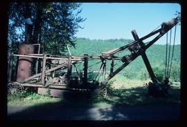
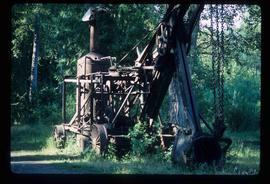
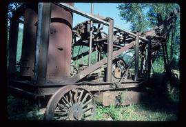
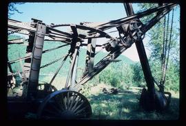
Image depicts a large, old piece of machinery, possibly some form of mining or prospecting equipment; it is located in Quesnelle Forks, B.C.
Image depicts a large, old piece of machinery, possibly some form of mining or prospecting equipment; it is located in Quesnelle Forks, B.C.
Image depicts a large, old piece of machinery, possibly some form of mining or prospecting equipment; it is located in Quesnelle Forks, B.C.
Image depicts a large, old piece of machinery, possibly some form of mining or prospecting equipment; it is located in Quesnelle Forks, B.C.
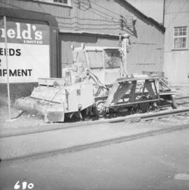
Photograph depicts a machine for cleaning the track of weeds with loose roots. It belongs to the B.C. Electric Railway and is located at Langley.
