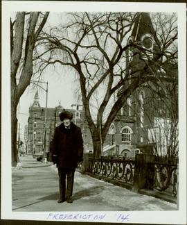
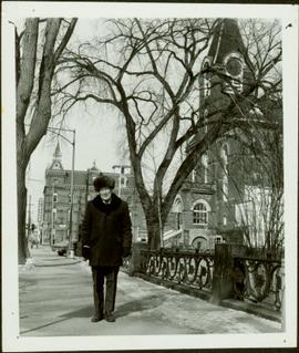
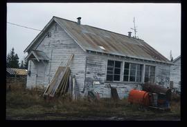
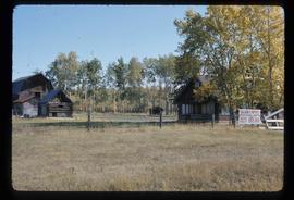
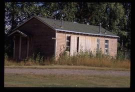
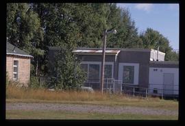
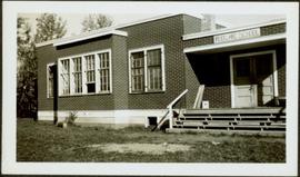
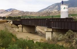
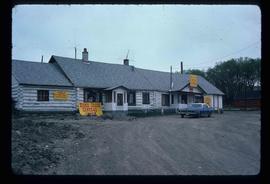
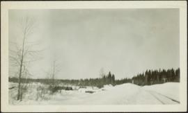
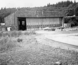
Image depicts a set of railway tracks and a long building located somewhere in the Peace River Region.
Image depicts railway tracks on the right side of the image, and several old houses alongside it. The location is uncertain.
Photograph depicts snow bank between construction camp and railway tracks. Power lines and forest trees in background.
Image depicts the Ramada Hotel in Prince George, B.C.
Image depicts a wooden Ranch House at an uncertain location.
Image depicts the ranch house of the Ranch of the Vikings, originally owned and operated by Bjorger Pettersen, a member of the Canadian Ski Hall of Fame, from 1970 until 1985. It is located somewhere west of McBride, B.C.
Photograph depicts trekking supplies piled outside Alex Nelles' log cabin. An unidentified man is standing outside the cabin with a horse.
Photograph depicts a man and horse standing outside a log cabin covered in snow and icicles. In the foreground of the image several loaded packs are laid out surrounding the cabin. The cabin belonged to ranger Alex Nelles' and was located at Willow Creek.
Photograph depicts ranger Alex Nelles' log cabin covered in snow and ice. Beside the cabin is an unidentified man standing next to a horse with travel packs in front of the cabin.
Photograph depicts ranger Alex Nelles' log cabin covered with snow and ice. Surrounding the cabin are cabin are several loaded packs and a horse.
Image depicts a woman standing on the porch of a hut located by Raven Lake.
Item is a photograph of Ray and Gladys Williston in front of their home in Princeton.
Item is a photograph of Ray Williston in Fredericton, NB.
Item is a photograph of Mr. Williston in Fredericton in February 1974.
Photograph depicts an RCAF Langer that was erected in 1942 as part of a flying boat base to counter possible Japanese sea and activities. It was used subsequently as whaling station premises.
Photograph of several log buildings in a forested area at Red Cliff mine. Printed annotation on recto reads: "Red Cliff Buildings Hughes 86."
Image depicts a building in Red Rock.
Image depicts the Red Rock School.
Image depicts a the teacherage building in Red Rock.
Image depicts a building in Reid Lake
Item is a photograph of the Reid Lake School.
Photograph depicts a replacement rail bridge. Forms sat on a temporary pile of dirt, which in turns sat on a road bed of a new highway that had just been cut.
Image depicts a residential area with a playground somewhere in Mackenzie, B.C.
Photograph depicts building at 310 4th Avenue West, Prince Rupert in a residential neighbourhood.
Overhead view of many residential buildings in Prince Rupert, BC. Veiled mountains are visible in the background. Printed annotation on recto reads: "'Residential Section' Prince Rupert. B.C. F. Button Photo. Prince Rupert. BC 119."
Image depicts the interior of a church in Shelley, B.C.
Image depicts the interior of the church after its restoration, in Shelley, B.C.
Photograph depicts an unidentified man walking on path in front of Bishop Ridley's home. Several children can be seen in fenced yard in midground.
Handwritten annotation below image reads: "Ridley Home and Mission house Metlakahtla."; on verso: "Chapter XXVII / Heading for Chapter / Ridley Home Metlakahtla".
Image depicts the Esso gas station in Riske Creek, B.C.
Image depicts Riske Creek, B.C. The brown building on the left is the local school.
Image depicts the "Riske Creek General Store" in Riske Creek, B.C.
Image depicts what appears to be a small, narrow river, and mounds of snow. The location is uncertain.
Photograph depicts sternwheeler, smaller boat, and canoe in foreground. Second sternwheeler named the 'Caledonia' can be seen anchored to shore in background. Town buildings stand on hill in background. Photo believed to have been taken in Port Simpson, B.C.
Photograph depicts river winding through range of hills, bridge visible in distance.
Image depicts a road with what appears to be a junkyard to the right of the image, likely located somewhere in Seton Portage, B.C.
Image depicts an old log cabin with the sign "Robin Hood Flour" on it at an uncertain location. It is possibly at the 153 Mile House.
Image depicts the peak of the Rocher de Boule mountain from Hazelton, B.C.
Photograph of a large crowd gathered at the McBride train station. Printed annotation on recto reads: "'Rocky Mountain Rangers Band, McBride, B.C.'"
Image depicts a view of McBride in the Rocky Mountain Trench.
Photograph depicts a Roman Catholic church, "Our Lady of Lourdes," on the First Nations reservation, Sechelt Village. It was built in 1907 and is now closed, but the heavy bell is still in position in the belfry.
Photograph depicts a bell tower of a Roman Catholic church in the Saanich Peninsula.
Photograph depicts an unidentified First Nations man standing to right of wolf pelts that hang from eaves of house in Atlin, B.C. Stewart and Glassey stand on left, Glassey wearing a suit and tie. Typed annotation on recto of photograph: "Wolf pelts from Teslin, B.C.", handwritten: "Ron Stewart is policeman." See also items 2009.5.2.67 & 2009.5.2.68.
Image depicts a row of houses; it is possibly in Prince Rupert, B.C.
Image depicts a row of houses in Upper Fraser, B.C. Map coordinates 54°06'51.6"N 121°56'26.3"W
Image depicts two rows of houses in an unknown location.