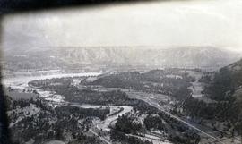
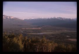
Image depicts downtown Prince George taken from across the Nechako River looking south. Map coordinates 53°56'00.0"N 122°44'29.7"W
Photograph depicts the confluence of the Cayoosh Creek outflow into the Fraser River in Lillooet, BC. Seton River is visible in the foreground. This area is Cayoose Creek Band (Sekw'el'wás First Nation) territory and includes land currently encompassed within Cayoosh Creek Indian Reserve 1. The Pacific Great Eastern Railway bridge over the Fraser River is also visible in the background.
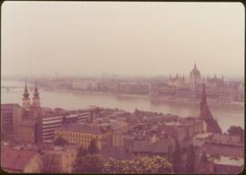
Photograph taken during European Sports Tour with Team Canada. See also item 2009.6.1.241 for image featuring similar content.
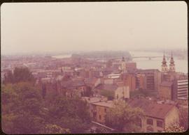
Handwritten annotation on verso reads: "Budapest". See also item 2009.6.1.238 for image featuring similar content. Photograph taken during European Sports Tour with Team Canada.
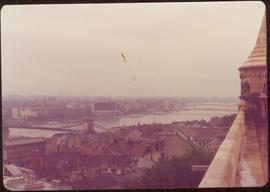
Photograph taken during European Sports Tour with Team Canada.
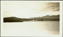
Photograph depicts town in distance, believed to be Atlin, B.C. Lake in foreground, hills in background. See also items 2009.5.2.63 & 2009.5.2.64.
Photograph depicts the view to the north from the terminal building at the Rainbow Lake Ski Club.
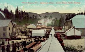
Hand coloured photo of lumber piles and buildings along the edge of the railway. Printed annotation on recto reads: "Prince Rupert, B.C. : View from Wharf Grand Trunk Pacific Railway." Artist's mark in lower left corner reads: "103,110 J.V."
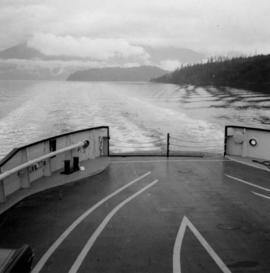
Photograph depicts a view from the ship the Queen of Powell River, en route from Earl Cove to Saltery Bay.
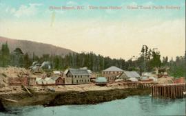
Hand coloured side view of various buildings along the Grand Trunk Railway waterfront. Printed annotation on recto reads: "Prince Rupert, B.C. : View from Harbor Grand Trunk Pacific Railway." Artist's stamp on lower right corner reads: "103,113 J.V."
Image depicts a view of Prince George from Gunn Point in the L.C. Gunn Park looking north. Map coordinates 53°54'26.2"N 122°43'35.8"W.
Image depicts a view of Prince George from Gunn Point in the L.C. Gunn Park looking north. Map coordinates 53°54'26.2"N 122°43'35.8"W.
Image depicts a view of Prince George from Gunn Point in the L.C. Gunn Park looking north. Map coordinates 53°54'26.2"N 122°43'35.8"W.
Image depicts a view of Prince George from Gunn Point in the L.C. Gunn Park looking north. Map coordinates 53°54'26.2"N 122°43'35.8"W.
Image depicts a view of Prince George from Gunn Point in the L.C. Gunn Park looking north. Map coordinates 53°54'26.2"N 122°43'35.8"W.
Image depicts a view of Prince George from Gunn Point in the L.C. Gunn Park looking north. Map coordinates 53°54'26.2"N 122°43'35.8"W.
Image depicts a view of Prince George from Gunn Point in the L.C. Gunn Park looking north. Map coordinates 53°54'26.2"N 122°43'35.8"W.
Image depicts a view of Prince George from Gunn Point in the L.C. Gunn Park looking north. Map coordinates 53°54'26.2"N 122°43'35.8"W.
Image depicts a view of Prince George from Gunn Point in the L.C. Gunn Park looking north. Map coordinates 53°54'26.2"N 122°43'35.8"W.
Image depicts a view of Prince George from Gunn Point in the L.C. Gunn Park looking north. Map coordinates 53°54'26.2"N 122°43'35.8"W.
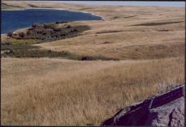
Photograph depicts lake in surrounding field. Grave marker on rock in right foreground. Handwritten annotation on recto of photograph: "This is a picture of the lake (part of it) the rock is in the bottom right corner on a knoll. You can see the plaque on it. But it isn't very clear."
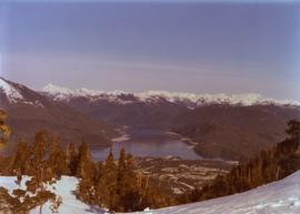
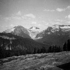
Photograph depicts the view looking north from Diamond Head Lodge in Garibaldi Park, about 20 miles northeast of Squamish. Believed to be "Bookworm range" at 7910 ft.
Image depicts a view of the Millar Addition suburb from Connaught Hill in Prince George, B.C.
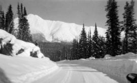
Photograph depicts snow-plowed road in foreground, Cassiar mountians in background. Road is lined with trees and power poles, and vehicle is visible in distance. Handwritten annotation on recto of photograph: "Looking west from townsite".
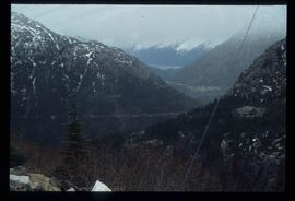
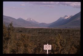
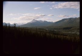
Image depicts a view over a forested, mountainous area and a river towards the vicinity of Skagway, Alaska.
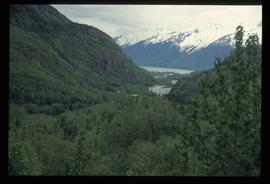
Image depicts a view over a forested, mountainous area and a river somewhere in the area of Skagway, Alaska.
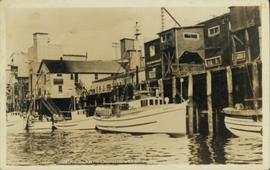
Water level photograph of several vessels docking in Prince Rupert. The "Co Op Fish Liver Oil" building is visible in the background. Printed annotation on recto reads: "Docks Prince Rupert."
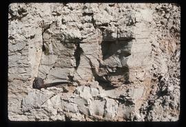
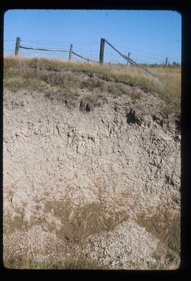
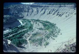
Image depicts an example of varves, an annual layer of sediment or rock, with a pipe used for reference size. It is possibly located at the airport in Prince George, B.C.
Image depicts an example of varves, an annual layer of sediment or rock, possibly located at the airport in Prince George, B.C.
Photograph depicts valley of Kitseucla creek looking north from 55th parallel.
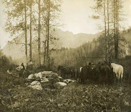
Photograph depicts horse packs piled in center of photograph, several men stand the to left, several horses on the right, large peaked mountain in the background.
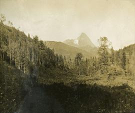
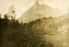
Photograph depicts lush undergrowth with trees and a mountain peak in the distance, valley of Kitseucla creek looking north from 55th parallel.
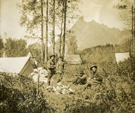
Photograph depicts four men in center of photograph, several canvas tents erected nearby, high mountain peak in the background.
Photograph depicts lush meadow with trees and a mountain peak in the distance.
Photograph depicts the Kettle river valley between Cascade BC and the American Boundary.
Photograph depicts the Kettle river valley between Cascade BC and the American Boundary.
Photograph depicts the Kettle river valley between Cascade BC and the American Boundary.
Photograph depicts the Kettle river valley between Cascade BC and the American Boundary.
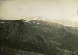
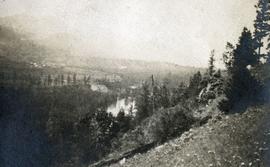
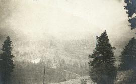
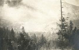
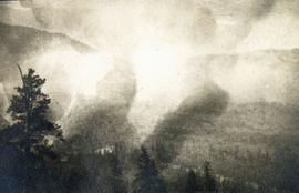
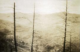
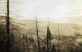
Photograph depicts a view from a high ridge looking over a valley.
Photograph depicts a view from a high ridge looking over a valley.
Image depicts a valley of fossil beds, possibly the Bulkley Valley.
Image depicts a view of a small valley in Mt. Robson Provincial Park.
Image depicts a river running through a valley-like area somewhere near Bralorne, B.C.
Image depicts the Valemount CN Station.
Image depicts a distant view of what appears to be a body of water, with numerous mountains in the background. The slide is labelled "Valemount reservoir."
Image depicts a view of a mountain range near Valemount, B.C. Valemount is barely visible among the trees on the right side of the image.
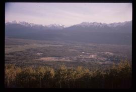
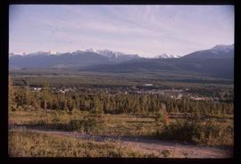
Image depicts a view of Valemount with numerous mountains in the background.
Image depicts a view of Valemount with numerous mountains in the background.
Image depicts a view of Valemount, with numerous mountains in the background.
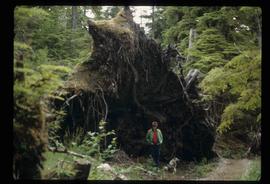
Image depicts an individual standing next to what appears to be the base of a very large, uprooted tree, located somewhere in the coastal forest of Haida Gwaii, B.C.

