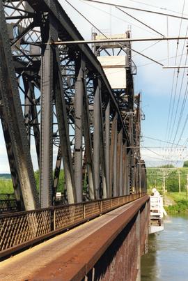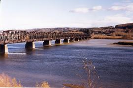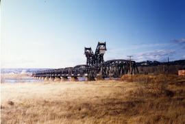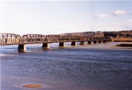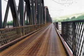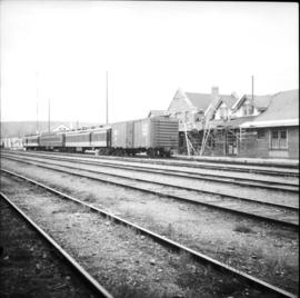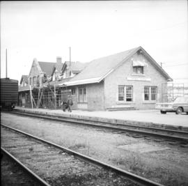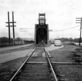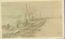
2013.6.36.1.110.23
·
Item
·
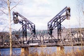
[Oct. 1999]
Part of David Davies Railway Collection
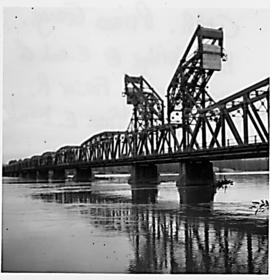
Photograph depicts a CN bridge crossing over the Fraser River. Details of the draw span captured.