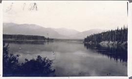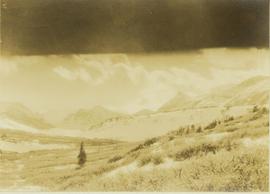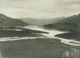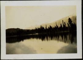
2006.20.11.16
·
Item
·
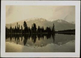
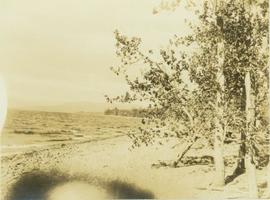
June 1923
Part of Northern BC Archives Historical Photograph Collection
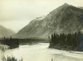
Photograph depicts a large body of water with trees on opposite bank crossing mid ground and reflected in the water. Mountains visible in distant background. Handwritten photo caption below photograph reads: "Lake Beau Vert and Whistler Mt Jasper Park."